
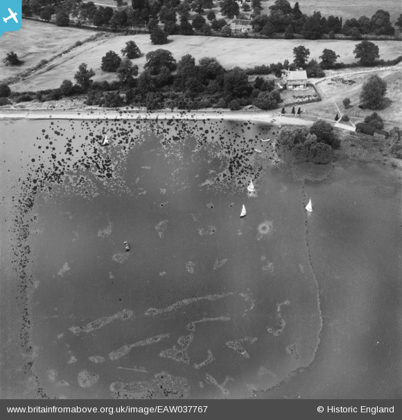
EAW037767 ENGLAND (1951). Aldenham Reservoir, Elstree, 1951. This image has been produced from a damaged negative.
© Copyright OpenStreetMap contributors and licensed by the OpenStreetMap Foundation. 2026. Cartography is licensed as CC BY-SA.
Nearby Images (2)
EAW037767

EPW059333

Details
| Title | [EAW037767] Aldenham Reservoir, Elstree, 1951. This image has been produced from a damaged negative. |
| Reference | EAW037767 |
| Date | 17-July-1951 |
| Link | |
| Place name | ELSTREE |
| Parish | ELSTREE AND BOREHAMWOOD |
| District | |
| Country | ENGLAND |
| Easting / Northing | 516997, 195630 |
| Longitude / Latitude | -0.30881650565127, 51.646812041116 |
| National Grid Reference | TQ170956 |
Pins
Be the first to add a comment to this image!