
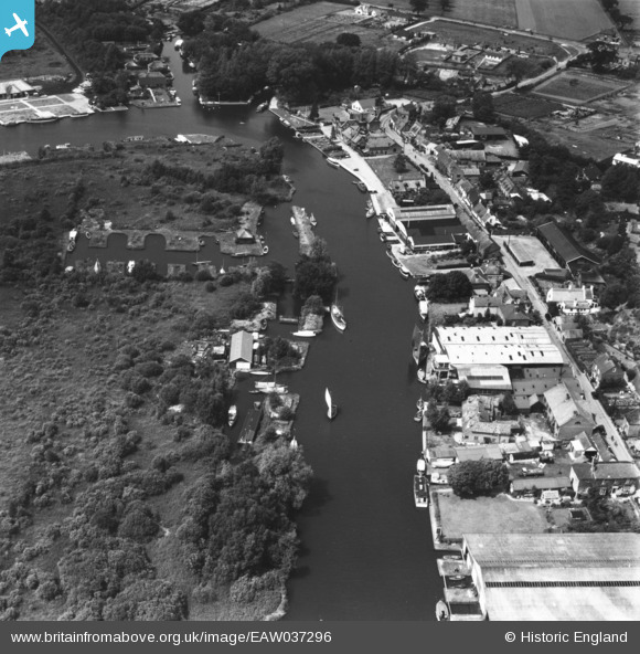
EAW037296 ENGLAND (1951). The River Bure at Horning, Woodbastwick, 1951. This image has been produced from a print.
© Copyright OpenStreetMap contributors and licensed by the OpenStreetMap Foundation. 2025. Cartography is licensed as CC BY-SA.
Nearby Images (3)
EAW037296

EAW037293

EPW059155

Details
| Title | [EAW037296] The River Bure at Horning, Woodbastwick, 1951. This image has been produced from a print. |
| Reference | EAW037296 |
| Date | 21-June-1951 |
| Link | |
| Place name | WOODBASTWICK |
| Parish | WOODBASTWICK |
| District | |
| Country | ENGLAND |
| Easting / Northing | 634021, 317419 |
| Longitude / Latitude | 1.4643137173987, 52.703419097217 |
| National Grid Reference | TG340174 |
Pins
Be the first to add a comment to this image!