
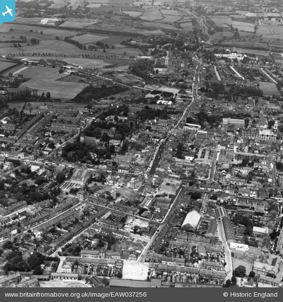
EAW037256 ENGLAND (1951). Head Street, North Hill and the town, Colchester, 1951. This image has been produced from a print.
© Copyright OpenStreetMap contributors and licensed by the OpenStreetMap Foundation. 2026. Cartography is licensed as CC BY-SA.
Nearby Images (22)
EAW037256

EAW029724

EPW001860

EAW029725

EPW018553

EAW024675

EAW029733

EAW029732

EPW018555

EAW037494

EAW029731

EPW001856

EAW043687

EAW014001

EAW029726

EAW015359

EAW037257

EPW018552

EPW058741

EAW037492

EAW037493

EAW043686

Details
| Title | [EAW037256] Head Street, North Hill and the town, Colchester, 1951. This image has been produced from a print. |
| Reference | EAW037256 |
| Date | 21-June-1951 |
| Link | |
| Place name | COLCHESTER |
| Parish | |
| District | |
| Country | ENGLAND |
| Easting / Northing | 599350, 225109 |
| Longitude / Latitude | 0.89721086442611, 51.888394633333 |
| National Grid Reference | TL994251 |
Pins
Be the first to add a comment to this image!