
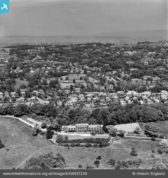
EAW037106 ENGLAND (1951). The United Sheffield Hospitals Rehabilitation Centre, the residential area at Stumperlowe and environs, Fulwood, from the south, 1951. This image has been produced from a print.
© Copyright OpenStreetMap contributors and licensed by the OpenStreetMap Foundation. 2026. Cartography is licensed as CC BY-SA.
Nearby Images (4)
EAW037106

 0°
0m
0°
0m
EAW037108
 108°
22m
108°
22m
EAW037105
 342°
89m
342°
89m
EAW037107
 12°
110m
12°
110m
Details
| Title | [EAW037106] The United Sheffield Hospitals Rehabilitation Centre, the residential area at Stumperlowe and environs, Fulwood, from the south, 1951. This image has been produced from a print. |
| Reference | EAW037106 |
| Date | 5-June-1951 |
| Link | |
| Place name | FULWOOD |
| Parish | |
| District | |
| Country | ENGLAND |
| Easting / Northing | 431196, 385313 |
| Longitude / Latitude | -1.5311603937625, 53.363501485323 |
| National Grid Reference | SK312853 |
Pins
 Fulwood road Fulwood road |

Whitecat |
Saturday 30th of May 2020 10:24:29 AM |