
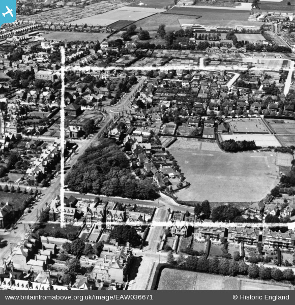
EAW036671 ENGLAND (1951). Fitzalan Road and the playing field behind Granville Road, Littlehampton, 1951. This image has been produced from a print marked by Aerofilms Ltd for photo editing.
© Copyright OpenStreetMap contributors and licensed by the OpenStreetMap Foundation. 2026. Cartography is licensed as CC BY-SA.
Nearby Images (8)
EAW036671

EAW036670

EAW036669

EAW036673

EAW036668

EAW036666

EAW036667

EAW036672

Details
| Title | [EAW036671] Fitzalan Road and the playing field behind Granville Road, Littlehampton, 1951. This image has been produced from a print marked by Aerofilms Ltd for photo editing. |
| Reference | EAW036671 |
| Date | 1-June-1951 |
| Link | |
| Place name | LITTLEHAMPTON |
| Parish | LITTLEHAMPTON |
| District | |
| Country | ENGLAND |
| Easting / Northing | 503221, 101789 |
| Longitude / Latitude | -0.53490993710718, 50.805886463669 |
| National Grid Reference | TQ032018 |
Pins

JerryE |
Saturday 26th of August 2017 06:35:01 PM |