
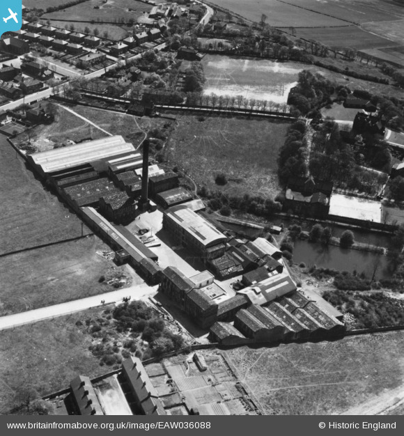
EAW036088 ENGLAND (1951). The Victoria Shoddy Mills, Ossett, 1951. This image has been produced from a print.
© Copyright OpenStreetMap contributors and licensed by the OpenStreetMap Foundation. 2026. Cartography is licensed as CC BY-SA.
Nearby Images (8)
EAW036088

EAW036082

EPW024338

EAW036086

EAW036085

EAW036087

EAW036084

EAW036083

Details
| Title | [EAW036088] The Victoria Shoddy Mills, Ossett, 1951. This image has been produced from a print. |
| Reference | EAW036088 |
| Date | 17-May-1951 |
| Link | |
| Place name | OSSETT |
| Parish | |
| District | |
| Country | ENGLAND |
| Easting / Northing | 427991, 419420 |
| Longitude / Latitude | -1.5762784400008, 53.67027531596 |
| National Grid Reference | SE280194 |
Pins
Be the first to add a comment to this image!