
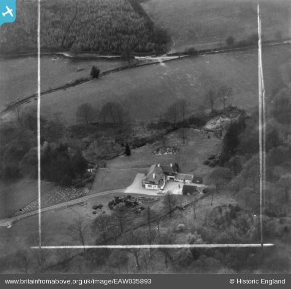
EAW035893 ENGLAND (1951). Righting House, Near Sawrey, 1951. This image has been produced from a print marked by Aerofilms Ltd for photo editing.
© Copyright OpenStreetMap contributors and licensed by the OpenStreetMap Foundation. 2026. Cartography is licensed as CC BY-SA.
Nearby Images (16)
EAW035893

EAW035892

EAW037148

EAW037151

EAW037149

EAW037150

EAW037160

EAW035895

EAW035894

EAW037158

EAW037161

EAW035883

EAW037162

EAW035886

EAW037159

EAW035885

Details
| Title | [EAW035893] Righting House, Near Sawrey, 1951. This image has been produced from a print marked by Aerofilms Ltd for photo editing. |
| Reference | EAW035893 |
| Date | 13-May-1951 |
| Link | |
| Place name | NEAR SAWREY |
| Parish | CLAIFE |
| District | |
| Country | ENGLAND |
| Easting / Northing | 337393, 496169 |
| Longitude / Latitude | -2.9634799524279, 54.357052400262 |
| National Grid Reference | SD374962 |
Pins
Be the first to add a comment to this image!