
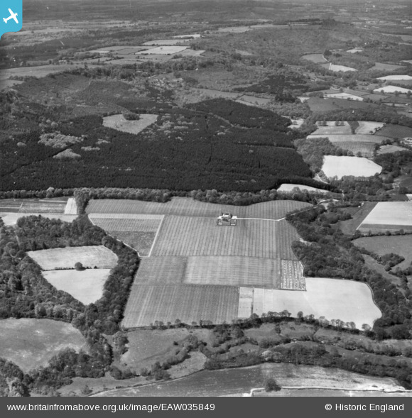
EAW035849 ENGLAND (1951). Surney Farm and Verdley Wood, Fernhurst, 1951. This image has been produced from a print.
© Copyright OpenStreetMap contributors and licensed by the OpenStreetMap Foundation. 2026. Cartography is licensed as CC BY-SA.
Nearby Images (2)
EAW035849

EAW035848

Details
| Title | [EAW035849] Surney Farm and Verdley Wood, Fernhurst, 1951. This image has been produced from a print. |
| Reference | EAW035849 |
| Date | 17-May-1951 |
| Link | |
| Place name | FERNHURST |
| Parish | FERNHURST |
| District | |
| Country | ENGLAND |
| Easting / Northing | 490915, 126298 |
| Longitude / Latitude | -0.70341693562089, 51.028311980273 |
| National Grid Reference | SU909263 |
Pins
Be the first to add a comment to this image!