
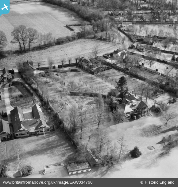
EAW034760 ENGLAND (1951). Orchard Dene and Loudwater, Bourne End, 1951
© Copyright OpenStreetMap contributors and licensed by the OpenStreetMap Foundation. 2025. Cartography is licensed as CC BY-SA.
Nearby Images (10)
EAW034760

EAW034762

EPW052723

EAW034764

EAW034766

EAW034765

EAW034761

EPW052582

EAW003831

EAW003830

Details
| Title | [EAW034760] Orchard Dene and Loudwater, Bourne End, 1951 |
| Reference | EAW034760 |
| Date | 22-February-1951 |
| Link | |
| Place name | BOURNE END |
| Parish | WOOBURN |
| District | |
| Country | ENGLAND |
| Easting / Northing | 489471, 186054 |
| Longitude / Latitude | -0.70902142303978, 51.565778564805 |
| National Grid Reference | SU895861 |
Pins
Be the first to add a comment to this image!