
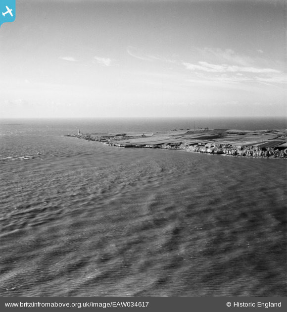
EAW034617 ENGLAND (1951). Portland Bill, Portland, from the north-east, 1951
© Copyright OpenStreetMap contributors and licensed by the OpenStreetMap Foundation. 2026. Cartography is licensed as CC BY-SA.
Nearby Images (2)
EAW034617

EAW034599

Details
| Title | [EAW034617] Portland Bill, Portland, from the north-east, 1951 |
| Reference | EAW034617 |
| Date | 7-February-1951 |
| Link | |
| Place name | PORTLAND |
| Parish | PORTLAND |
| District | |
| Country | ENGLAND |
| Easting / Northing | 368955, 69113 |
| Longitude / Latitude | -2.4379714539596, 50.520381134872 |
| National Grid Reference | SY690691 |
Pins

ajsmith99 |
Saturday 23rd of September 2017 05:12:12 PM | |
|
ajsmith99 |
Saturday 23rd of September 2017 05:11:44 PM | |
|
ajsmith99 |
Sunday 17th of September 2017 10:56:15 AM | |
|
Oliver Mills |
Thursday 18th of August 2016 02:52:06 PM | |
|
Oliver Mills |
Thursday 18th of August 2016 02:51:47 PM |