
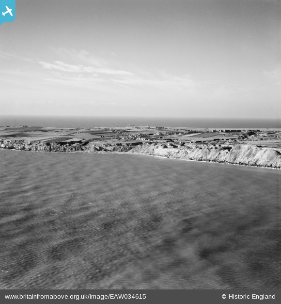
EAW034615 ENGLAND (1951). Freshwater Bay and Southwell, Portland, from the east, 1951
© Copyright OpenStreetMap contributors and licensed by the OpenStreetMap Foundation. 2026. Cartography is licensed as CC BY-SA.
Nearby Images (3)
EAW034615

EAW034614

EAW034600

Details
| Title | [EAW034615] Freshwater Bay and Southwell, Portland, from the east, 1951 |
| Reference | EAW034615 |
| Date | 7-February-1951 |
| Link | |
| Place name | PORTLAND |
| Parish | PORTLAND |
| District | |
| Country | ENGLAND |
| Easting / Northing | 369324, 70038 |
| Longitude / Latitude | -2.4328419917768, 50.528719822329 |
| National Grid Reference | SY693700 |
Pins

ajsmith99 |
Monday 20th of November 2017 04:18:06 PM | |
|
ajsmith99 |
Saturday 23rd of September 2017 05:07:09 PM | |
|
ajsmith99 |
Saturday 23rd of September 2017 05:05:40 PM | |
|
ajsmith99 |
Saturday 23rd of September 2017 05:05:10 PM | |
|
ajsmith99 |
Saturday 23rd of September 2017 05:04:43 PM | |
|
ajsmith99 |
Saturday 23rd of September 2017 05:04:24 PM | |

Class31 |
Saturday 5th of July 2014 07:58:29 AM |
