
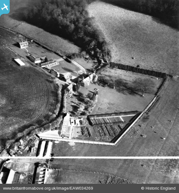
EAW034269 ENGLAND (1950). Bluey's Farm, Chisbridge Cross, 1950. This image has been produced from a print marked by Aerofilms Ltd for photo editing.
© Copyright OpenStreetMap contributors and licensed by the OpenStreetMap Foundation. 2025. Cartography is licensed as CC BY-SA.
Nearby Images (7)
EAW034269

EAW034265

EAW034267

EAW034266

EAW034270

EAW034271

EAW034268

Details
| Title | [EAW034269] Bluey's Farm, Chisbridge Cross, 1950. This image has been produced from a print marked by Aerofilms Ltd for photo editing. |
| Reference | EAW034269 |
| Date | 14-November-1950 |
| Link | |
| Place name | CHISBRIDGE CROSS |
| Parish | GREAT MARLOW |
| District | |
| Country | ENGLAND |
| Easting / Northing | 481985, 189208 |
| Longitude / Latitude | -0.8162745319947, 51.595272838623 |
| National Grid Reference | SU820892 |
Pins
Be the first to add a comment to this image!