
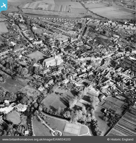
EAW034103 ENGLAND (1950). The town, Romsey, 1950
© Copyright OpenStreetMap contributors and licensed by the OpenStreetMap Foundation. 2026. Cartography is licensed as CC BY-SA.
Nearby Images (22)
EAW034103

EPW013636

EAW034106

EAW034101

EAW034099

EAW034100

EPW013640

EPW013639

EPW032326

EPW032327

EAW034102

EPW032325

EAW034105

EPW013635

EAW034097

EAW034098

EPW013638

EAW034104

EPW032328

EPW013641

EPW056976

EPW033733

Details
| Title | [EAW034103] The town, Romsey, 1950 |
| Reference | EAW034103 |
| Date | 25-October-1950 |
| Link | |
| Place name | ROMSEY |
| Parish | ROMSEY |
| District | |
| Country | ENGLAND |
| Easting / Northing | 435104, 121194 |
| Longitude / Latitude | -1.4998003700409, 50.988532580429 |
| National Grid Reference | SU351212 |
Pins

Class31 |
Monday 20th of October 2014 09:57:53 AM |
