
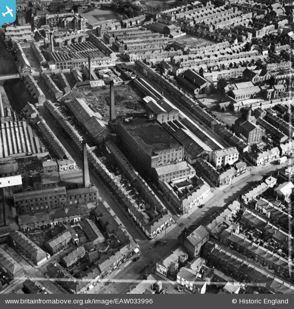
EAW033996 ENGLAND (1950). Park Lane Mill, Preston, 1950. This image was marked by Aerofilms Ltd for photo editing.
© Copyright OpenStreetMap contributors and licensed by the OpenStreetMap Foundation. 2026. Cartography is licensed as CC BY-SA.
Nearby Images (8)
EAW033996

EAW033995

EAW033994

EAW033997

EAW033998

EAW033993

EAW033992

EAW033991

Details
| Title | [EAW033996] Park Lane Mill, Preston, 1950. This image was marked by Aerofilms Ltd for photo editing. |
| Reference | EAW033996 |
| Date | 14-October-1950 |
| Link | |
| Place name | PRESTON |
| Parish | |
| District | |
| Country | ENGLAND |
| Easting / Northing | 354046, 430101 |
| Longitude / Latitude | -2.697209660452, 53.765010496279 |
| National Grid Reference | SD540301 |
Pins

DL |
Wednesday 11th of June 2014 11:48:40 AM |