
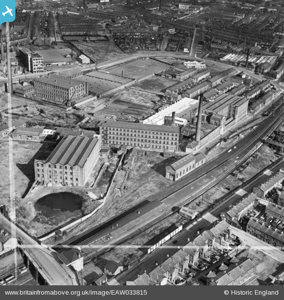
EAW033815 ENGLAND (1950). Mill Hill Mill and the Waterfall Mills, Mill Hill, 1950. This image was marked by Aerofilms Ltd for photo editing.
© Copyright OpenStreetMap contributors and licensed by the OpenStreetMap Foundation. 2026. Cartography is licensed as CC BY-SA.
Nearby Images (14)
EAW033815

EAW033822

EAW033816

EAW033821

EAW033817

EAW033818

EAW033813

EAW033814

EAW033824

EAW033820

EAW033819

EAW033823

EPW013920

EPW013373

Details
| Title | [EAW033815] Mill Hill Mill and the Waterfall Mills, Mill Hill, 1950. This image was marked by Aerofilms Ltd for photo editing. |
| Reference | EAW033815 |
| Date | 16-October-1950 |
| Link | |
| Place name | MILL HILL |
| Parish | |
| District | |
| Country | ENGLAND |
| Easting / Northing | 367057, 426773 |
| Longitude / Latitude | -2.4994629589034, 53.736081403627 |
| National Grid Reference | SD671268 |
Pins

powerpop |
Monday 24th of April 2023 12:44:59 PM | |
|
powerpop |
Monday 24th of April 2023 12:44:03 PM | |

Andrew Stainer |
Monday 10th of June 2019 06:28:56 PM | |
|
powerpop |
Sunday 29th of January 2017 01:09:07 AM | |
|
powerpop |
Sunday 17th of January 2016 05:51:14 PM | |
|
powerpop |
Tuesday 28th of October 2014 07:58:13 PM |