
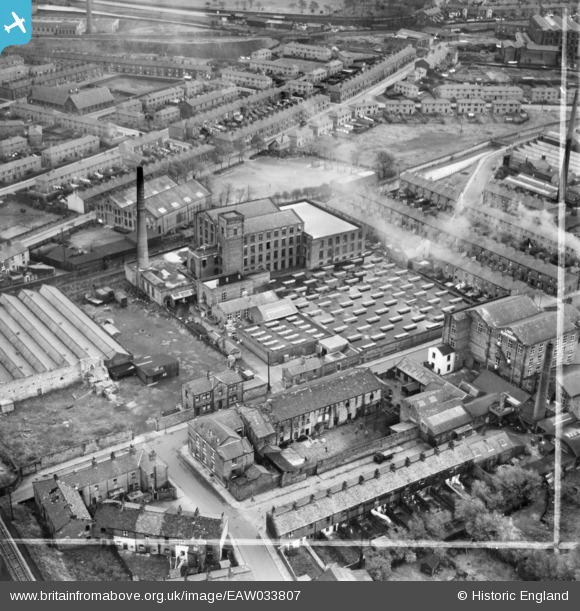
EAW033807 ENGLAND (1950). Cardwell Mill, Mill Hill, 1950. This image was marked by Aerofilms Ltd for photo editing.
© Copyright OpenStreetMap contributors and licensed by the OpenStreetMap Foundation. 2026. Cartography is licensed as CC BY-SA.
Nearby Images (19)
EAW033807

EAW033808

EAW033809

EAW033810

EAW033811

EAW033812

EAW033804

EAW033806

EAW033803

EAW033805

EPW013920

EAW033823

EAW033824

EAW033819

EAW033814

EAW033813

EAW033820

EAW033816

EAW033818

Details
| Title | [EAW033807] Cardwell Mill, Mill Hill, 1950. This image was marked by Aerofilms Ltd for photo editing. |
| Reference | EAW033807 |
| Date | 16-October-1950 |
| Link | |
| Place name | MILL HILL |
| Parish | |
| District | |
| Country | ENGLAND |
| Easting / Northing | 367338, 426710 |
| Longitude / Latitude | -2.4951961170497, 53.735532789329 |
| National Grid Reference | SD673267 |
Pins
Be the first to add a comment to this image!