
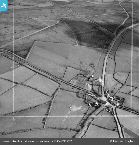
EAW033757 ENGLAND (1950). The hamlet, Hallworthy, 1950. This image was marked by Aerofilms Ltd for photo editing.
© Copyright OpenStreetMap contributors and licensed by the OpenStreetMap Foundation. 2026. Cartography is licensed as CC BY-SA.
Nearby Images (6)
EAW033757

EAW033758

EAW033756

EAW033754

EAW033755

EAW033753

Details
| Title | [EAW033757] The hamlet, Hallworthy, 1950. This image was marked by Aerofilms Ltd for photo editing. |
| Reference | EAW033757 |
| Date | 16-October-1950 |
| Link | |
| Place name | HALLWORTHY |
| Parish | TRENEGLOS |
| District | |
| Country | ENGLAND |
| Easting / Northing | 218205, 87964 |
| Longitude / Latitude | -4.5725863096842, 50.662350365471 |
| National Grid Reference | SX182880 |
Pins
Be the first to add a comment to this image!