
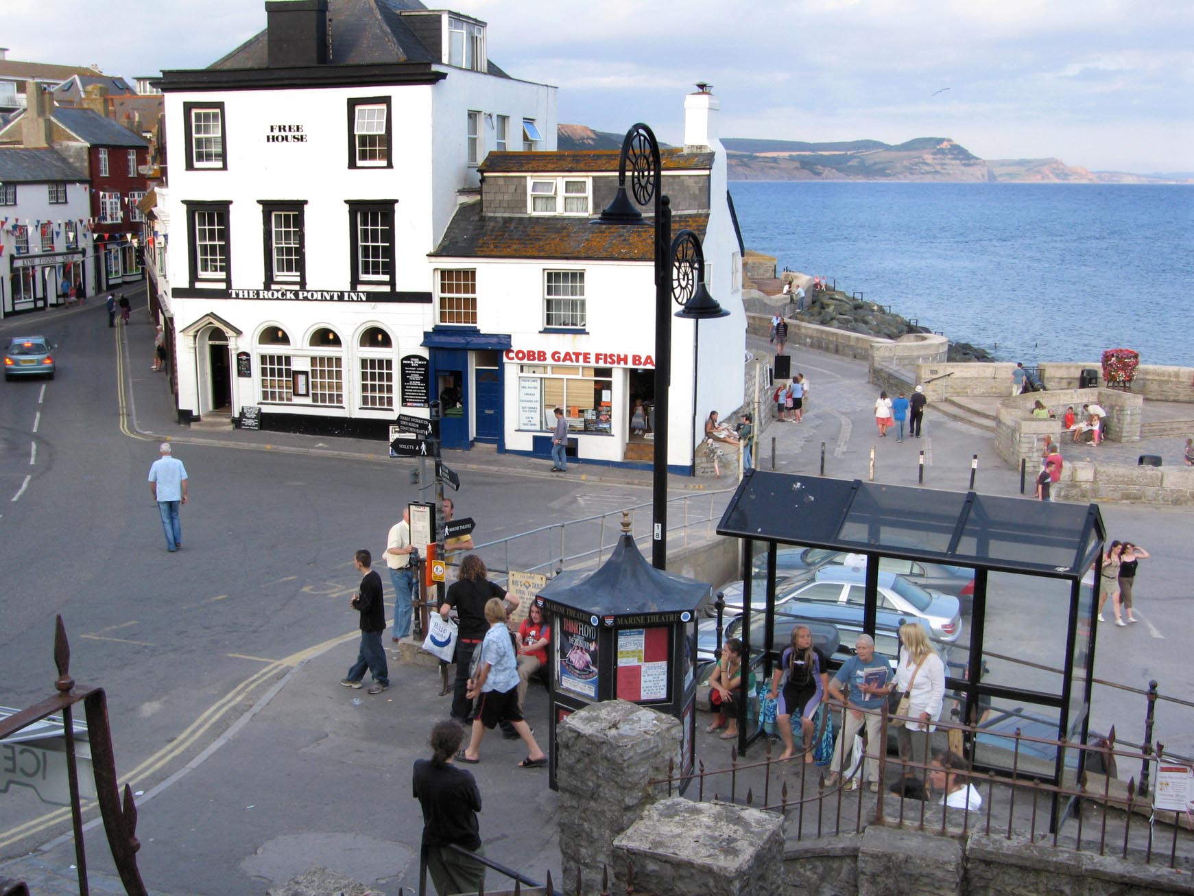
EAW033562 ENGLAND (1950). Church Street and environs looking towards Anning Road, Lyme Regis, 1950

© Copyright OpenStreetMap contributors and licensed by the OpenStreetMap Foundation. 2026. Cartography is licensed as CC BY-SA.
Nearby Images (22)
EAW033562

EAW033565

EAW033563

EAW033559

EAW033560

EAW033561

EAW033566

EAW033663

EAW033564

EPW023892

EPW013475

EAW033662

EPW013474

EPW013478

EPW039713

EPW024181

EAW050064

EPW039715

EPW023896

EAW050063

EPW024179

EAW040783

Details
| Title | [EAW033562] Church Street and environs looking towards Anning Road, Lyme Regis, 1950 |
| Reference | EAW033562 |
| Date | 12-October-1950 |
| Link | |
| Place name | LYME REGIS |
| Parish | LYME REGIS |
| District | |
| Country | ENGLAND |
| Easting / Northing | 334280, 92212 |
| Longitude / Latitude | -2.9311968090887, 50.725235579015 |
| National Grid Reference | SY343922 |
Pins

Kentishman |
Wednesday 12th of December 2018 03:23:05 PM | |
|
Kentishman |
Wednesday 12th of December 2018 03:18:58 PM | |
|
Kentishman |
Wednesday 12th of December 2018 03:16:50 PM | |

Alan McFaden |
Tuesday 18th of November 2014 03:41:02 PM | |
|
Alan McFaden |
Monday 21st of July 2014 10:33:17 AM |


User Comment Contributions
Lyme Regis |
Alan McFaden |
Tuesday 18th of November 2014 03:38:48 PM |