
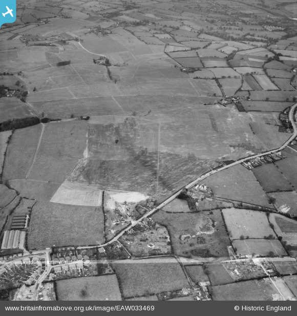
EAW033469 ENGLAND (1950). Restored opencast mining site north of Carrington's Farm, Denby Village, 1950. This image was marked by Aerofilms Ltd for photo editing.
© Copyright OpenStreetMap contributors and licensed by the OpenStreetMap Foundation. 2026. Cartography is licensed as CC BY-SA.
Nearby Images (36)
EAW033469

EAW011225

EAW011226

EAW033472

EAW033470

EAW011243

EAW033471

EAW011224

EAW033474

EAW017986

EAW012052

EAW011238

EAW033473

EAW012039

EAW011235

EAW011236

EAW025912

EAW011237

EAW012040

EAW011234

EAW012042

EAW018415

EAW012041

EAW011239

EAW011252

EAW012053

EAW017963

EAW011241

EAW018411

EAW018401

EAW011246

EAW018412

EAW017954

EAW017961

EAW017955

EAW033475

Details
| Title | [EAW033469] Restored opencast mining site north of Carrington's Farm, Denby Village, 1950. This image was marked by Aerofilms Ltd for photo editing. |
| Reference | EAW033469 |
| Date | 11-October-1950 |
| Link | |
| Place name | DENBY VILLAGE |
| Parish | DENBY |
| District | |
| Country | ENGLAND |
| Easting / Northing | 441052, 345624 |
| Longitude / Latitude | -1.3881436798654, 53.00604669271 |
| National Grid Reference | SK411456 |
Pins

Class31 |
Thursday 20th of August 2015 03:12:29 PM | |
|
Class31 |
Thursday 20th of August 2015 03:02:34 PM | |
|
Class31 |
Thursday 20th of August 2015 03:01:07 PM | |
|
Class31 |
Wednesday 19th of August 2015 07:58:46 PM | |
|
Class31 |
Wednesday 19th of August 2015 07:52:46 PM | |
|
Class31 |
Wednesday 19th of August 2015 07:52:11 PM |


