
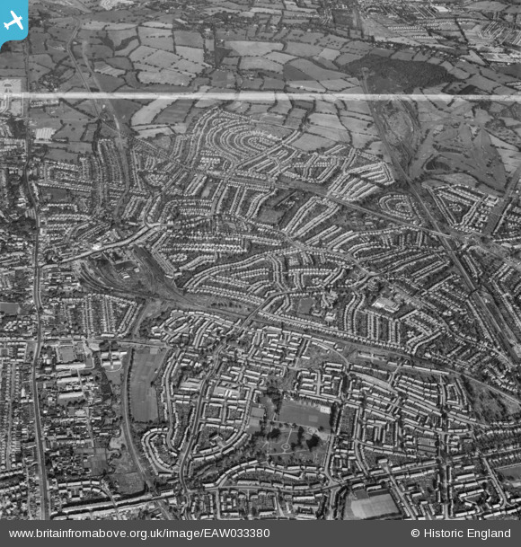
EAW033380 ENGLAND (1950). Burnt Oak, Edgware and environs, Edgware, 1950. This image was marked by Aerofilms Ltd for photo editing.
© Copyright OpenStreetMap contributors and licensed by the OpenStreetMap Foundation. 2026. Cartography is licensed as CC BY-SA.
Nearby Images (6)
EAW033380

EPW034611

EPW034565

EPW034563

EPW034566

EAW033375

Details
| Title | [EAW033380] Burnt Oak, Edgware and environs, Edgware, 1950. This image was marked by Aerofilms Ltd for photo editing. |
| Reference | EAW033380 |
| Date | 10-October-1950 |
| Link | |
| Place name | EDGWARE |
| Parish | |
| District | |
| Country | ENGLAND |
| Easting / Northing | 520051, 192188 |
| Longitude / Latitude | -0.26587308129284, 51.615230854035 |
| National Grid Reference | TQ201922 |


