
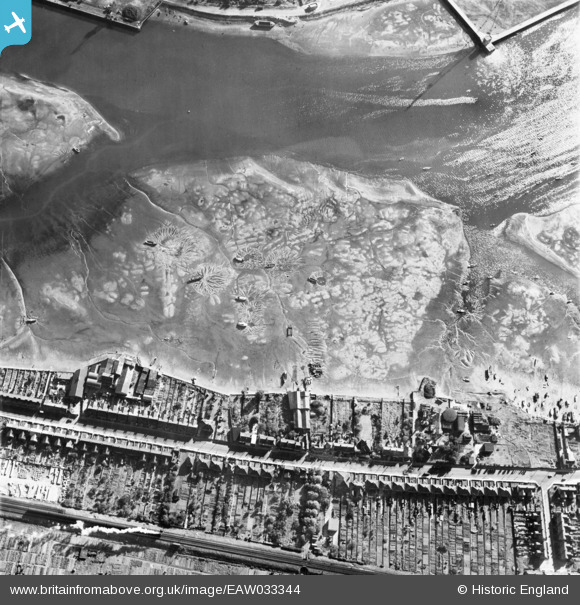
EAW033344 ENGLAND (1950). Patterns in the mudflats of the River Orwell (Cliff Reach), Ipswich, 1950
© Copyright OpenStreetMap contributors and licensed by the OpenStreetMap Foundation. 2026. Cartography is licensed as CC BY-SA.
Nearby Images (3)
EAW033344
, Ipswich, 1950")
EAW033343
, Ipswich, 1950")
EAW033342
, Ipswich, 1950")
Details
| Title | [EAW033344] Patterns in the mudflats of the River Orwell (Cliff Reach), Ipswich, 1950 |
| Reference | EAW033344 |
| Date | 5-October-1950 |
| Link | |
| Place name | IPSWICH |
| Parish | |
| District | |
| Country | ENGLAND |
| Easting / Northing | 616388, 242372 |
| Longitude / Latitude | 1.1553156637973, 52.03703316503 |
| National Grid Reference | TM164424 |
Pins
Be the first to add a comment to this image!