
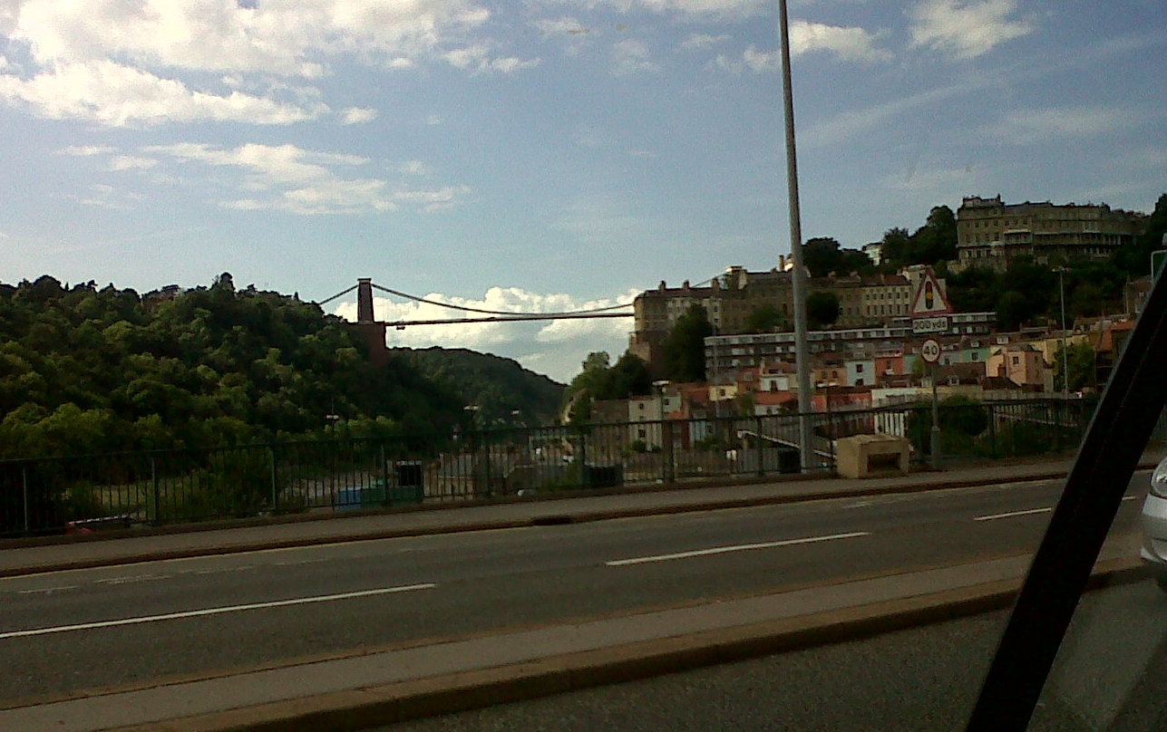
EAW033317 ENGLAND (1950). The Clifton Suspension Bridge, Clifton, from the south, 1950

© Copyright OpenStreetMap contributors and licensed by the OpenStreetMap Foundation. 2026. Cartography is licensed as CC BY-SA.
Nearby Images (5)
EAW033317

EAW033318

EPW008827

EPW032527

EPW022273

Details
| Title | [EAW033317] The Clifton Suspension Bridge, Clifton, from the south, 1950 |
| Reference | EAW033317 |
| Date | 5-October-1950 |
| Link | |
| Place name | CLIFTON |
| Parish | |
| District | |
| Country | ENGLAND |
| Easting / Northing | 356550, 172681 |
| Longitude / Latitude | -2.625357641564, 51.450955016125 |
| National Grid Reference | ST566727 |
Pins

User Comment Contributions
Clifton Suspension Bridge 06/08/2013 |

Class31 |
Friday 2nd of May 2014 11:06:06 AM |