
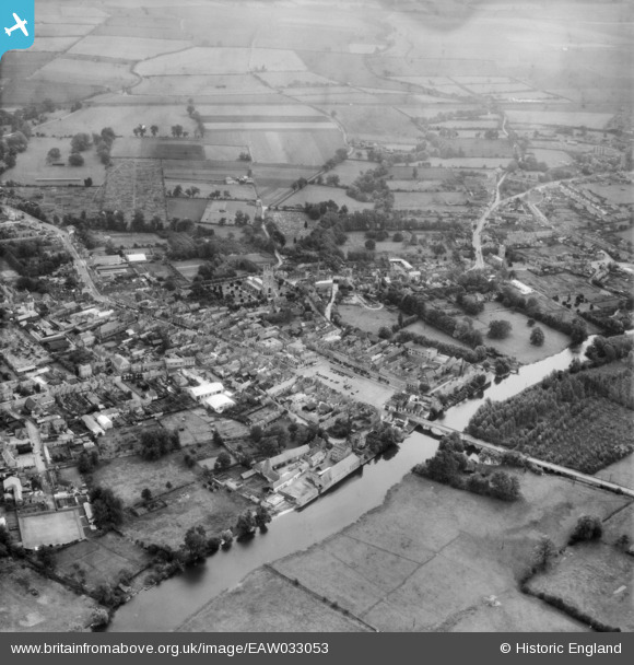
EAW033053 ENGLAND (1950). The town, St Neots, from the north-west, 1950
© Copyright OpenStreetMap contributors and licensed by the OpenStreetMap Foundation. 2026. Cartography is licensed as CC BY-SA.
Nearby Images (7)
EAW033053

EAW033047

EPW028952

EAW033050

EAW033052

EAW033051

EAW033049

Details
| Title | [EAW033053] The town, St Neots, from the north-west, 1950 |
| Reference | EAW033053 |
| Date | 3-October-1950 |
| Link | |
| Place name | ST NEOTS |
| Parish | ST. NEOTS |
| District | |
| Country | ENGLAND |
| Easting / Northing | 518156, 260320 |
| Longitude / Latitude | -0.26984366161988, 52.227989526285 |
| National Grid Reference | TL182603 |
