
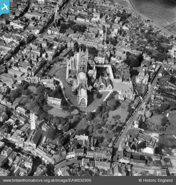
EAW032306 ENGLAND (1950). Holy Trinity Cathedral, Gloucester, 1950
© Copyright OpenStreetMap contributors and licensed by the OpenStreetMap Foundation. 2026. Cartography is licensed as CC BY-SA.
Nearby Images (29)
EAW032306

EAW003568

EAW003569

EPW041487

EPW024155

EAW000730

EPW024170

EPW006011

EPW024152

EAW003565

EAW003567

EPW024158

EAW032305

EPW024163

EAW032304

EAW003566

EPW024165

EAW000731

EAW032303

EAW012147

EAW000727

EAW018729

EAW000726

EAW000729

EPW024169

EPW037835

EPW024106

EPW037845

EPW041488

Details
| Title | [EAW032306] Holy Trinity Cathedral, Gloucester, 1950 |
| Reference | EAW032306 |
| Date | 5-September-1950 |
| Link | |
| Place name | GLOUCESTER |
| Parish | |
| District | |
| Country | ENGLAND |
| Easting / Northing | 383158, 218781 |
| Longitude / Latitude | -2.2446284089637, 51.866911633395 |
| National Grid Reference | SO832188 |
Pins
Be the first to add a comment to this image!