
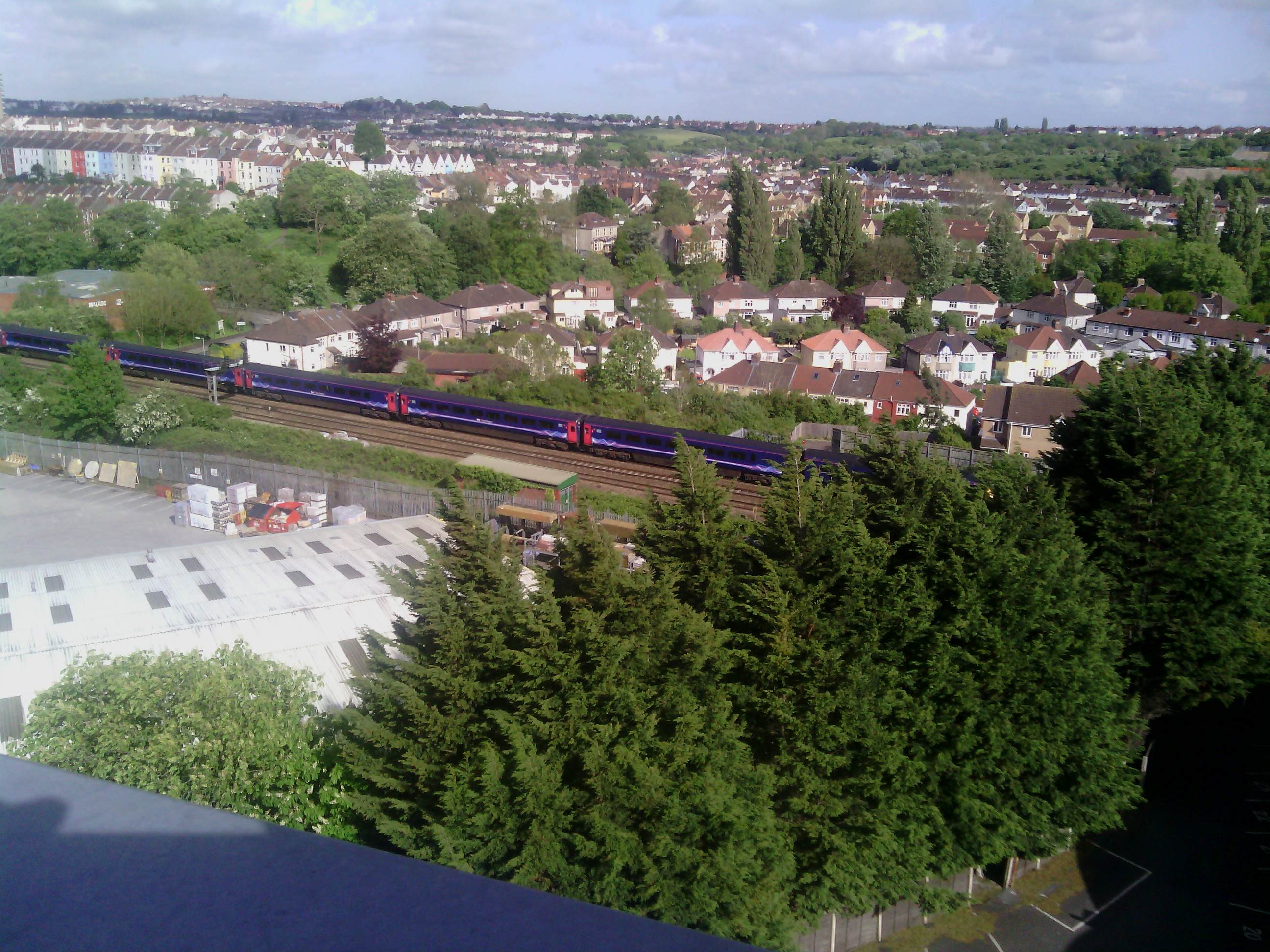
EAW032240 ENGLAND (1950). Argus Road and environs, Bedminster, 1950. This image was marked by Aerofilms Ltd for photo editing.

© Copyright OpenStreetMap contributors and licensed by the OpenStreetMap Foundation. 2025. Cartography is licensed as CC BY-SA.
Nearby Images (9)
EAW032240

EAW032238

EAW032239

EAW032244

EAW032243

EAW032245

EAW032242

EAW032241

EPW032529

Details
| Title | [EAW032240] Argus Road and environs, Bedminster, 1950. This image was marked by Aerofilms Ltd for photo editing. |
| Reference | EAW032240 |
| Date | 5-September-1950 |
| Link | |
| Place name | BEDMINSTER |
| Parish | |
| District | |
| Country | ENGLAND |
| Easting / Northing | 358161, 171037 |
| Longitude / Latitude | -2.601978197754, 51.436293376121 |
| National Grid Reference | ST582710 |
Pins

deano8 |
Sunday 8th of January 2017 04:49:11 PM | |
|
deano8 |
Sunday 8th of January 2017 04:43:24 PM | |
|
deano8 |
Sunday 8th of January 2017 04:41:43 PM | |
|
deano8 |
Sunday 8th of January 2017 04:29:37 PM | |

Class31 |
Sunday 29th of June 2014 09:52:29 AM | |
|
MB |
Wednesday 14th of May 2014 12:58:06 PM | |
|
MB |
Wednesday 14th of May 2014 12:57:22 PM | |
|
MB |
Wednesday 14th of May 2014 12:56:49 PM | |
|
MB |
Wednesday 14th of May 2014 12:54:12 PM | |
|
Class31 |
Wednesday 14th of May 2014 11:35:29 AM |


User Comment Contributions
View from the Airpoint building roof 11/05/2014 |
Class31 |
Wednesday 14th of May 2014 11:37:45 AM |