
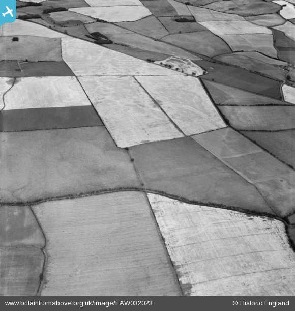
EAW032023 ENGLAND (1950). Fields between Brown Rigg and Blake Law, West Learmouth, 1950
© Copyright OpenStreetMap contributors and licensed by the OpenStreetMap Foundation. 2026. Cartography is licensed as CC BY-SA.
Nearby Images (2)
EAW032023

EAW032024

Details
| Title | [EAW032023] Fields between Brown Rigg and Blake Law, West Learmouth, 1950 |
| Reference | EAW032023 |
| Date | 19-August-1950 |
| Link | |
| Place name | WEST LEARMOUTH |
| Parish | CARHAM |
| District | |
| Country | ENGLAND |
| Easting / Northing | 385028, 635656 |
| Longitude / Latitude | -2.2377209812859, 55.614270161376 |
| National Grid Reference | NT850357 |
Pins
Be the first to add a comment to this image!