
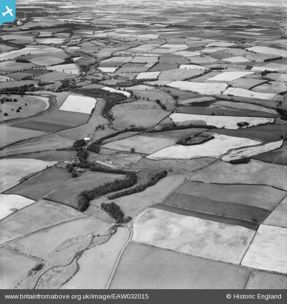
EAW032015 ENGLAND (1950). Willow Burn, Kippie Hill and surrounding countryside, West Learmouth, 1950
© Copyright OpenStreetMap contributors and licensed by the OpenStreetMap Foundation. 2026. Cartography is licensed as CC BY-SA.
Nearby Images (2)
EAW032015

EAW032012

Details
| Title | [EAW032015] Willow Burn, Kippie Hill and surrounding countryside, West Learmouth, 1950 |
| Reference | EAW032015 |
| Date | 19-August-1950 |
| Link | |
| Place name | WEST LEARMOUTH |
| Parish | CARHAM |
| District | |
| Country | ENGLAND |
| Easting / Northing | 385369, 637731 |
| Longitude / Latitude | -2.2324170373643, 55.6329269513 |
| National Grid Reference | NT854377 |
Pins
Be the first to add a comment to this image!