
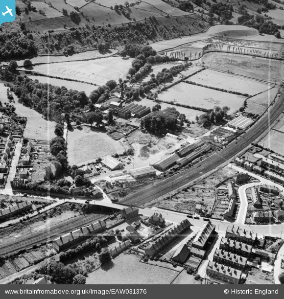
EAW031376 ENGLAND (1950). Crossflatts Bridge, Castlefields Foundry and environs, Bingley, 1950. This image was marked by Aerofilms Ltd for photo editing.
© Copyright OpenStreetMap contributors and licensed by the OpenStreetMap Foundation. 2025. Cartography is licensed as CC BY-SA.
Nearby Images (10)
EAW031376

EAW031373

EAW031370

EAW031371

EAW031375

EAW031377

EAW031374

EAW031378

EAW031379

EAW031372

Details
| Title | [EAW031376] Crossflatts Bridge, Castlefields Foundry and environs, Bingley, 1950. This image was marked by Aerofilms Ltd for photo editing. |
| Reference | EAW031376 |
| Date | 26-July-1950 |
| Link | |
| Place name | BINGLEY |
| Parish | |
| District | |
| Country | ENGLAND |
| Easting / Northing | 410065, 440353 |
| Longitude / Latitude | -1.8469535208097, 53.859095330809 |
| National Grid Reference | SE101404 |
Pins
Be the first to add a comment to this image!