
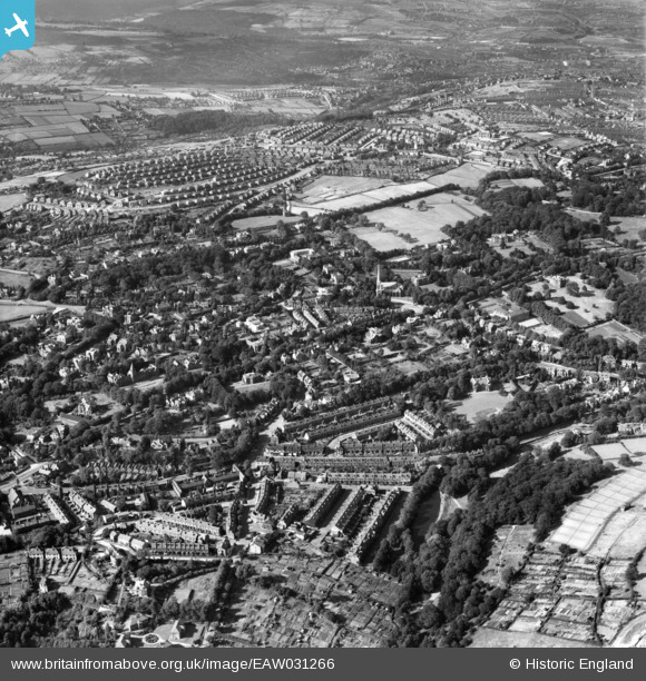
EAW031266 ENGLAND (1950). Ranmoor and environs, Sheffield, 1950
© Copyright OpenStreetMap contributors and licensed by the OpenStreetMap Foundation. 2026. Cartography is licensed as CC BY-SA.
Nearby Images (3)
EAW031266

EAW031264

EAW031265

Details
| Title | [EAW031266] Ranmoor and environs, Sheffield, 1950 |
| Reference | EAW031266 |
| Date | 26-July-1950 |
| Link | |
| Place name | SHEFFIELD |
| Parish | |
| District | |
| Country | ENGLAND |
| Easting / Northing | 431813, 386146 |
| Longitude / Latitude | -1.5218041064218, 53.370952832907 |
| National Grid Reference | SK318861 |
Pins

redmist |
Wednesday 10th of October 2018 01:38:05 PM |