
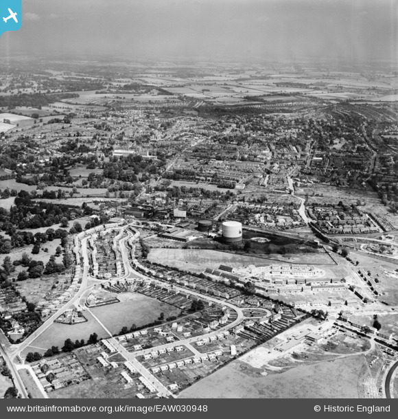
EAW030948 ENGLAND (1950). The Gas Works, Tavistock Avenue and the city, St Albans, from the south, 1950
© Copyright OpenStreetMap contributors and licensed by the OpenStreetMap Foundation. 2026. Cartography is licensed as CC BY-SA.
Nearby Images (3)
EAW030948

EAW030231

EAW041252

Details
| Title | [EAW030948] The Gas Works, Tavistock Avenue and the city, St Albans, from the south, 1950 |
| Reference | EAW030948 |
| Date | 13-July-1950 |
| Link | |
| Place name | ST ALBANS |
| Parish | |
| District | |
| Country | ENGLAND |
| Easting / Northing | 514576, 205667 |
| Longitude / Latitude | -0.34049908127894, 51.737527690424 |
| National Grid Reference | TL146057 |
