
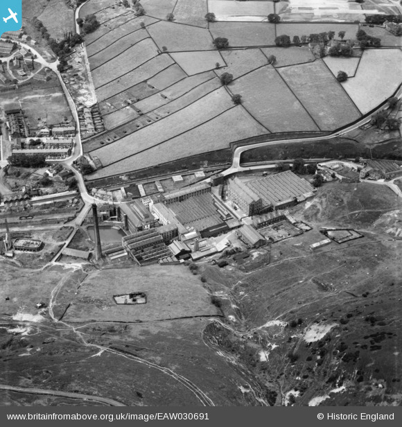
EAW030691 ENGLAND (1950). Holmfield Mills, Holmfield, 1950
© Copyright OpenStreetMap contributors and licensed by the OpenStreetMap Foundation. 2026. Cartography is licensed as CC BY-SA.
Nearby Images (15)
EAW030691

EAW030695

EAW030692

EAW030682

EAW030689

EAW030694

EAW030683

EAW030696

EAW030693

EAW030686

EAW030688

EAW030690

EAW030687

EAW030685

EAW030684

Details
| Title | [EAW030691] Holmfield Mills, Holmfield, 1950 |
| Reference | EAW030691 |
| Date | June-1950 |
| Link | |
| Place name | HOLMFIELD |
| Parish | |
| District | |
| Country | ENGLAND |
| Easting / Northing | 408454, 428536 |
| Longitude / Latitude | -1.8717745356847, 53.75290131087 |
| National Grid Reference | SE085285 |
