
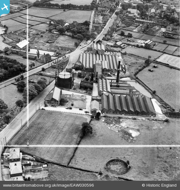
EAW030596 ENGLAND (1950). Albion Mills, Greengates, 1950. This image was marked by Aerofilms Ltd for photo editing.
© Copyright OpenStreetMap contributors and licensed by the OpenStreetMap Foundation. 2026. Cartography is licensed as CC BY-SA.
Nearby Images (9)
EAW030596

EAW030595

EAW030602

EAW030600

EAW030594

EAW030599

EAW030601

EAW030597

EAW030598

Details
| Title | [EAW030596] Albion Mills, Greengates, 1950. This image was marked by Aerofilms Ltd for photo editing. |
| Reference | EAW030596 |
| Date | 29-June-1950 |
| Link | |
| Place name | GREENGATES |
| Parish | |
| District | |
| Country | ENGLAND |
| Easting / Northing | 418590, 437482 |
| Longitude / Latitude | -1.7174991262286, 53.833053087668 |
| National Grid Reference | SE186375 |

