
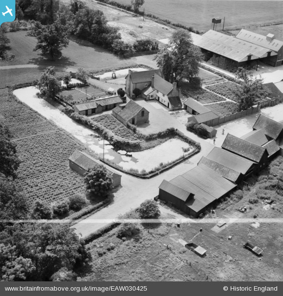
EAW030425 ENGLAND (1950). Braiseworth Hall, Tannington, 1950. This image was marked by Aerofilms Ltd for photo editing.
© Copyright OpenStreetMap contributors and licensed by the OpenStreetMap Foundation. 2025. Cartography is licensed as CC BY-SA.
Nearby Images (11)
EAW030425

EAW030427

EAW030430

EAW030432

EAW030423

EAW030424

EAW030429

EAW030428

EAW030426

EAW030431

EAW030433

Details
| Title | [EAW030425] Braiseworth Hall, Tannington, 1950. This image was marked by Aerofilms Ltd for photo editing. |
| Reference | EAW030425 |
| Date | 20-June-1950 |
| Link | |
| Place name | TANNINGTON |
| Parish | TANNINGTON |
| District | |
| Country | ENGLAND |
| Easting / Northing | 624634, 267180 |
| Longitude / Latitude | 1.2917454286938, 52.256449511261 |
| National Grid Reference | TM246672 |
Pins
Be the first to add a comment to this image!