
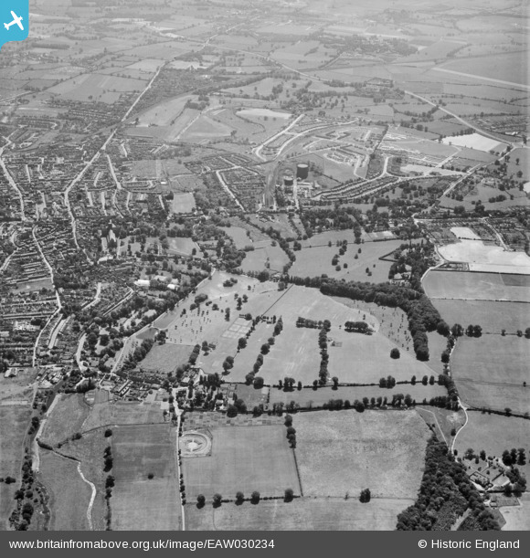
EAW030234 ENGLAND (1950). The site of Verulamium, St Albans, from the north-west, 1950
© Copyright OpenStreetMap contributors and licensed by the OpenStreetMap Foundation. 2026. Cartography is licensed as CC BY-SA.
Nearby Images (5)
EAW030234

EAW016024

EAW016026

EAW015594

EAW015577

Details
| Title | [EAW030234] The site of Verulamium, St Albans, from the north-west, 1950 |
| Reference | EAW030234 |
| Date | 12-June-1950 |
| Link | |
| Place name | ST ALBANS |
| Parish | |
| District | |
| Country | ENGLAND |
| Easting / Northing | 513605, 207108 |
| Longitude / Latitude | -0.35408588470622, 51.750677702348 |
| National Grid Reference | TL136071 |
Pins

Andantiques |
Sunday 22nd of March 2020 03:09:51 PM | |
|
Andantiques |
Sunday 22nd of March 2020 03:08:12 PM | |
|
Andantiques |
Sunday 22nd of March 2020 03:06:43 PM | |
|
Andantiques |
Sunday 22nd of March 2020 03:05:52 PM | |
|
Andantiques |
Sunday 22nd of March 2020 02:57:42 PM | |
|
Andantiques |
Sunday 22nd of March 2020 02:56:29 PM | |
|
Andantiques |
Sunday 22nd of March 2020 02:54:01 PM | |
|
Andantiques |
Sunday 22nd of March 2020 02:52:44 PM | |
|
Andantiques |
Sunday 22nd of March 2020 02:51:23 PM | |
|
Andantiques |
Sunday 22nd of March 2020 02:50:40 PM | |
|
Andantiques |
Sunday 22nd of March 2020 02:49:59 PM | |
|
Andantiques |
Sunday 22nd of March 2020 02:49:09 PM |