
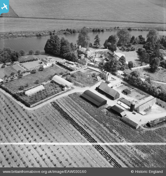
EAW030160 ENGLAND (1950). Water Oakley Farm and Down Place, Water Oakley, 1950. This image was marked by Aerofilms Ltd for photo editing.
© Copyright OpenStreetMap contributors and licensed by the OpenStreetMap Foundation. 2025. Cartography is licensed as CC BY-SA.
Nearby Images (7)
EAW030160

EAW030158

EAW030161

EAW030162

EAW030159

EAW030152

EAW030166

Details
| Title | [EAW030160] Water Oakley Farm and Down Place, Water Oakley, 1950. This image was marked by Aerofilms Ltd for photo editing. |
| Reference | EAW030160 |
| Date | 5-June-1950 |
| Link | |
| Place name | WATER OAKLEY |
| Parish | BRAY |
| District | |
| Country | ENGLAND |
| Easting / Northing | 491933, 177885 |
| Longitude / Latitude | -0.67564011966952, 51.491942717658 |
| National Grid Reference | SU919779 |
Pins
Be the first to add a comment to this image!