
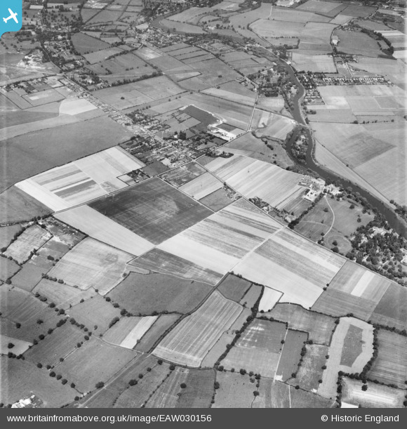
EAW030156 ENGLAND (1950). Builder's Cross and environs, Water Oakley, 1950
© Copyright OpenStreetMap contributors and licensed by the OpenStreetMap Foundation. 2025. Cartography is licensed as CC BY-SA.
Nearby Images (8)
EAW030156

EAW030155

EAW030164

EAW030165

EAW030157

EAW030163

EAW030153

EAW030154

Details
| Title | [EAW030156] Builder's Cross and environs, Water Oakley, 1950 |
| Reference | EAW030156 |
| Date | 5-June-1950 |
| Link | |
| Place name | WATER OAKLEY |
| Parish | BRAY |
| District | |
| Country | ENGLAND |
| Easting / Northing | 491512, 177552 |
| Longitude / Latitude | -0.68178954572704, 51.489017315227 |
| National Grid Reference | SU915776 |
Pins
 Matt Aldred edob.mattaldred.com |
Tuesday 2nd of April 2024 10:31:53 AM |