
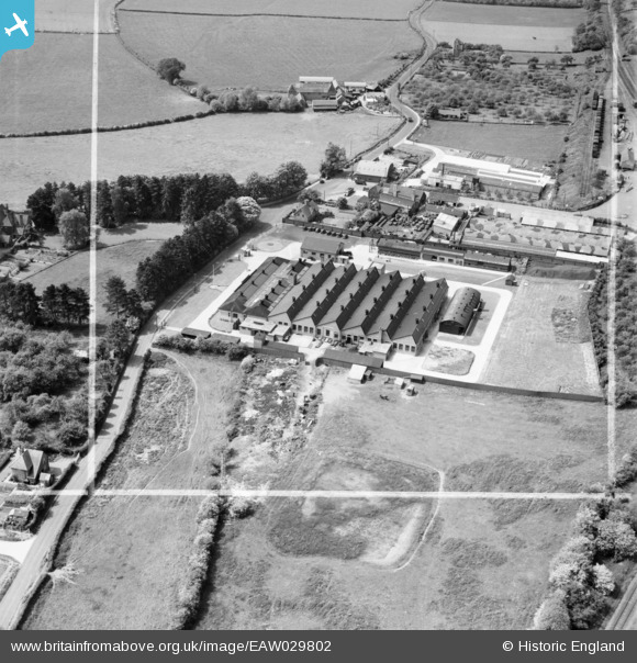
EAW029802 ENGLAND (1950). The Richard Lloyd Ltd Cromwell Engineering Works, Burford, 1950. This image was marked by Aerofilms Ltd for photo editing.
© Copyright OpenStreetMap contributors and licensed by the OpenStreetMap Foundation. 2026. Cartography is licensed as CC BY-SA.
Nearby Images (15)
EAW029802

EAW029804

EAW029801

EAW029799

EAW029806

EAW029803

EAW029809

EAW029807

EAW029808

EAW029800

EAW029805

EAW029813

EAW029811

EAW029812

EAW029810

Details
| Title | [EAW029802] The Richard Lloyd Ltd Cromwell Engineering Works, Burford, 1950. This image was marked by Aerofilms Ltd for photo editing. |
| Reference | EAW029802 |
| Date | 31-May-1950 |
| Link | |
| Place name | BURFORD |
| Parish | BURFORD |
| District | |
| Country | ENGLAND |
| Easting / Northing | 359412, 268905 |
| Longitude / Latitude | -2.5954926292355, 52.316359972466 |
| National Grid Reference | SO594689 |
Pins

Sparky |
Monday 23rd of October 2017 07:07:40 PM |