
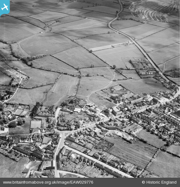
EAW029776 ENGLAND (1950). Hilly Farm, the High Street and the surrounding area, Burton Latimer, 1950
© Copyright OpenStreetMap contributors and licensed by the OpenStreetMap Foundation. 2026. Cartography is licensed as CC BY-SA.
Nearby Images (12)
EAW029776

EAW029786

EAW029784

EAW029783

EAW029775

EAW029778

EAW029777

EAW029774

EAW029773

EAW029779

EAW029782

EAW029781

Details
| Title | [EAW029776] Hilly Farm, the High Street and the surrounding area, Burton Latimer, 1950 |
| Reference | EAW029776 |
| Date | 31-May-1950 |
| Link | |
| Place name | BURTON LATIMER |
| Parish | BURTON LATIMER |
| District | |
| Country | ENGLAND |
| Easting / Northing | 490250, 274677 |
| Longitude / Latitude | -0.67448669486841, 52.362324639868 |
| National Grid Reference | SP903747 |
Pins
Be the first to add a comment to this image!