
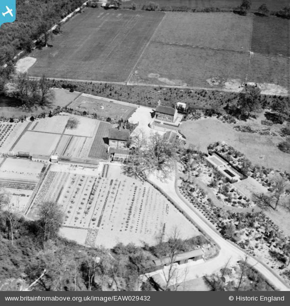
EAW029432 ENGLAND (1950). Coles, Privett, 1950
© Copyright OpenStreetMap contributors and licensed by the OpenStreetMap Foundation. 2026. Cartography is licensed as CC BY-SA.
Nearby Images (8)
EAW029432

EAW029435

EAW029436

EAW029437

EAW029433

EAW029434

EAW029430

EAW029431

Details
| Title | [EAW029432] Coles, Privett, 1950 |
| Reference | EAW029432 |
| Date | 12-May-1950 |
| Link | |
| Place name | PRIVETT |
| Parish | FROXFIELD |
| District | |
| Country | ENGLAND |
| Easting / Northing | 469217, 128018 |
| Longitude / Latitude | -1.012477063657, 51.046801406756 |
| National Grid Reference | SU692280 |
Pins
Be the first to add a comment to this image!