
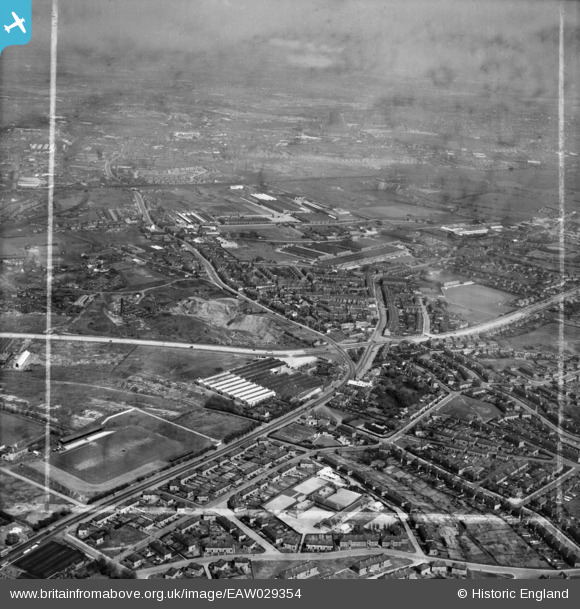
EAW029354 ENGLAND (1950). Dudley Port, the A461 and environs, Burnt Tree, from the south-west, 1950. This image was marked by Aerofilms Ltd for photo editing.
© Copyright OpenStreetMap contributors and licensed by the OpenStreetMap Foundation. 2026. Cartography is licensed as CC BY-SA.
Nearby Images (11)
EAW029354

EAW029366

EAW029367

EAW029373

EAW029365

EAW029369

EAW029370

EAW029368

EAW029372

EAW029371

EAW029353

Details
| Title | [EAW029354] Dudley Port, the A461 and environs, Burnt Tree, from the south-west, 1950. This image was marked by Aerofilms Ltd for photo editing. |
| Reference | EAW029354 |
| Date | 10-May-1950 |
| Link | |
| Place name | BURNT TREE |
| Parish | |
| District | |
| Country | ENGLAND |
| Easting / Northing | 395571, 290602 |
| Longitude / Latitude | -2.0652699652081, 52.512922875896 |
| National Grid Reference | SO956906 |
Pins

fisha519 |
Tuesday 31st of December 2019 02:54:45 PM | |
|
fisha519 |
Tuesday 31st of December 2019 02:53:00 PM | |
|
fisha519 |
Tuesday 31st of December 2019 02:52:14 PM | |
|
fisha519 |
Sunday 4th of August 2019 07:34:05 PM | |
|
DaveT |
Monday 14th of April 2014 12:17:03 PM | |
|
ian-nl |
Friday 21st of February 2014 11:37:49 AM | |
|
ian-nl |
Friday 21st of February 2014 11:35:41 AM | |
|
ian-nl |
Friday 21st of February 2014 11:33:25 AM | |
|
ian-nl |
Friday 21st of February 2014 07:54:39 AM | |
|
ian-nl |
Friday 21st of February 2014 07:53:24 AM | |
|
ian-nl |
Friday 21st of February 2014 07:52:12 AM | |
|
ian-nl |
Friday 21st of February 2014 07:51:06 AM | |
|
ian-nl |
Friday 21st of February 2014 07:50:14 AM |


