
EAW029313 ENGLAND (1950). The town, Tewkesbury, from the south-west, 1950

© Copyright OpenStreetMap contributors and licensed by the OpenStreetMap Foundation. 2026. Cartography is licensed as CC BY-SA.
Nearby Images (2)
EAW029313

EPW023943

Details
| Title | [EAW029313] The town, Tewkesbury, from the south-west, 1950 |
| Reference | EAW029313 |
| Date | 11-May-1950 |
| Link | |
| Place name | TEWKESBURY |
| Parish | TEWKESBURY |
| District | |
| Country | ENGLAND |
| Easting / Northing | 389096, 232045 |
| Longitude / Latitude | -2.1588003435439, 51.986326815198 |
| National Grid Reference | SO891320 |
Pins

Class31 |
Saturday 16th of August 2014 08:16:27 AM | |
|
Class31 |
Saturday 16th of August 2014 08:06:59 AM | |

Toby Clempson |
Sunday 2nd of March 2014 07:41:11 AM | |
|
Toby Clempson |
Sunday 2nd of March 2014 07:39:54 AM | |
|
Toby Clempson |
Sunday 2nd of March 2014 07:39:06 AM | |
|
Toby Clempson |
Sunday 2nd of March 2014 07:38:31 AM | |
|
Toby Clempson |
Sunday 2nd of March 2014 07:37:47 AM | |

clippedwings |
Monday 17th of February 2014 01:47:37 PM | |
|
clippedwings |
Monday 17th of February 2014 01:41:32 PM | |
|
clippedwings |
Monday 17th of February 2014 01:23:23 PM | |
|
clippedwings |
Monday 17th of February 2014 01:14:26 PM | |
|
clippedwings |
Monday 17th of February 2014 01:13:29 PM |

User Comment Contributions
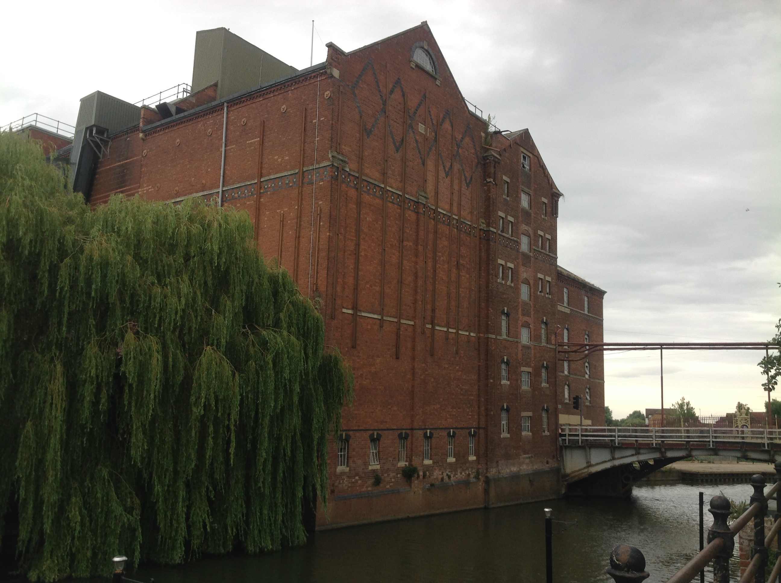
Healing's Flour Mills called Borough Mills on the 1950 OS map, Tewkesbury, 09/08/2014 |
Class31 |
Saturday 16th of August 2014 08:14:20 AM |
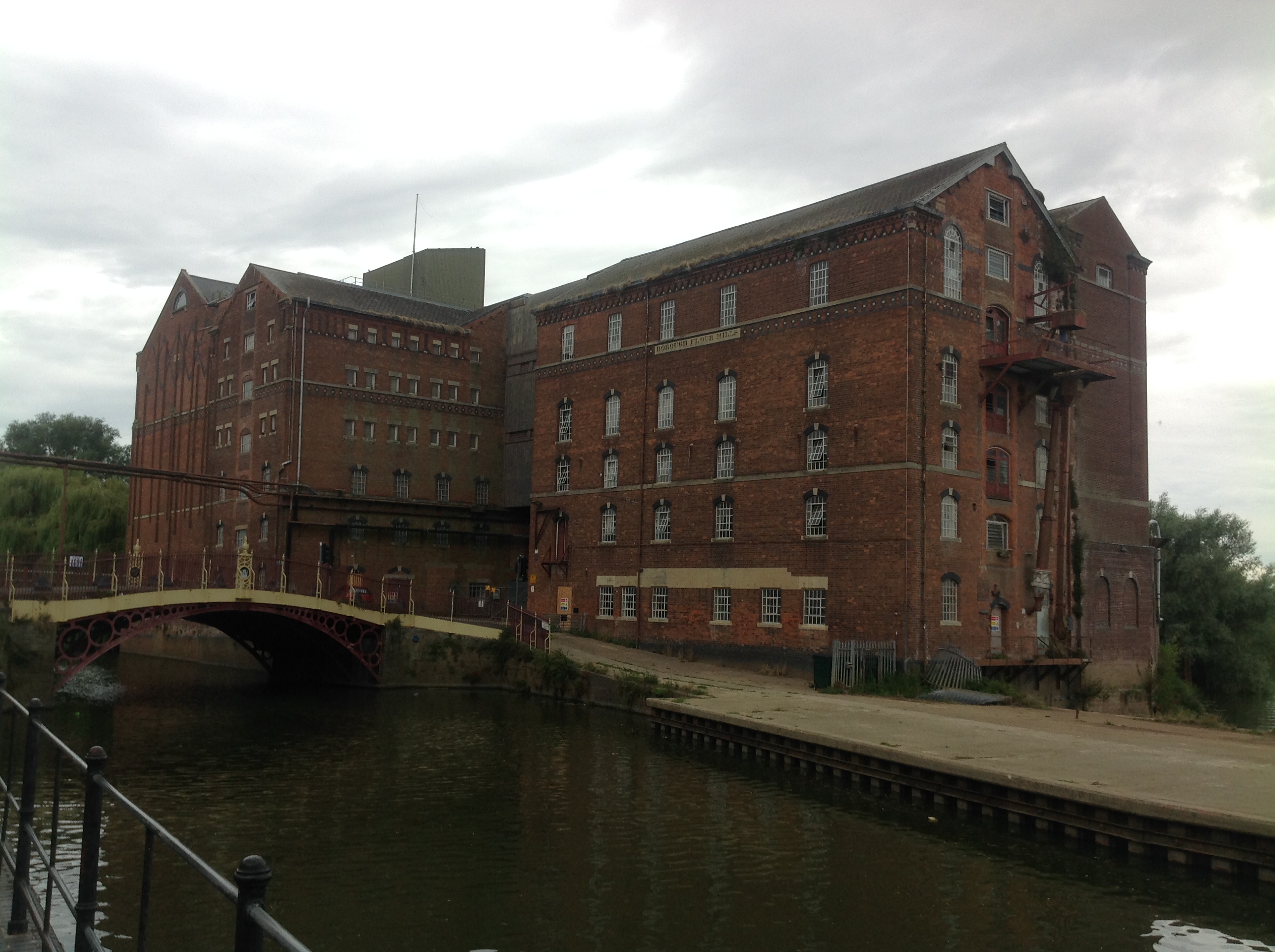
Healing's Flour Mills called Borough Mills on the 1950 OS map, Tewkesbury, 09/08/2014 |
Class31 |
Saturday 16th of August 2014 08:13:20 AM |
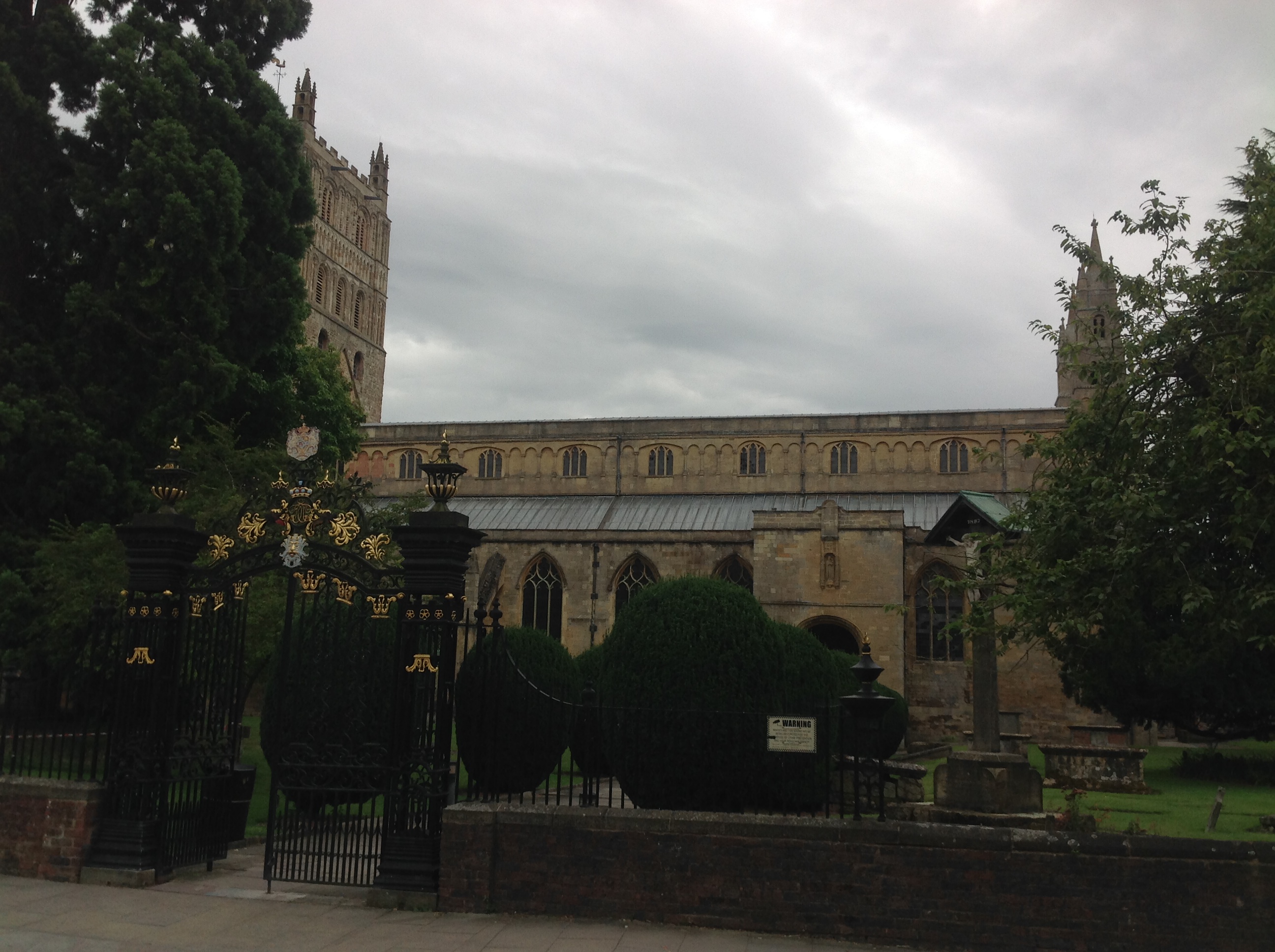
St. Mary's Abbey Church, Tewkesbury, 09/08/2014 |
Class31 |
Saturday 16th of August 2014 08:10:09 AM |
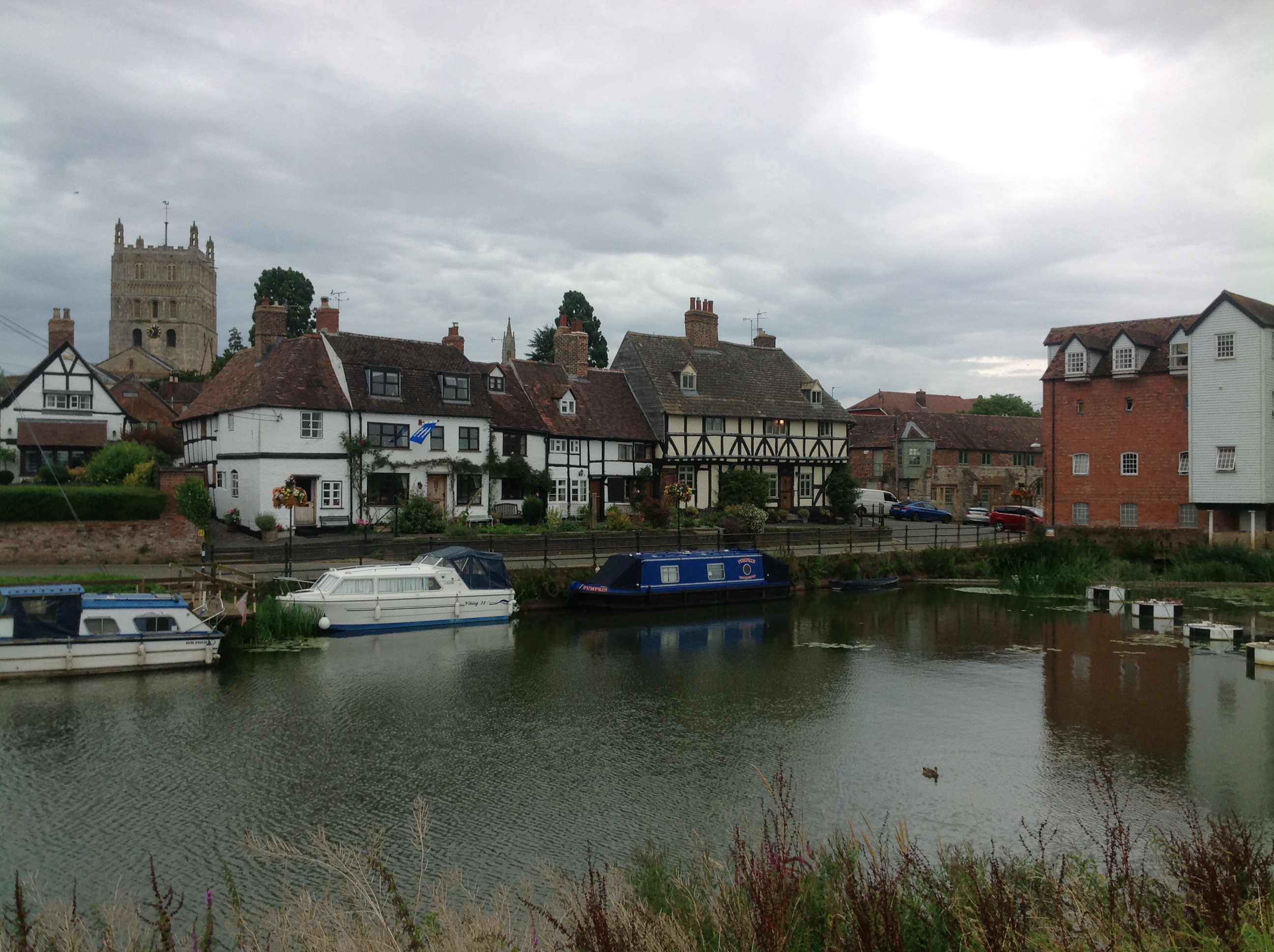
Abbey Mills and the River Avon, Tewkesbury, 09/08/2014 |
Class31 |
Saturday 16th of August 2014 08:07:58 AM |