
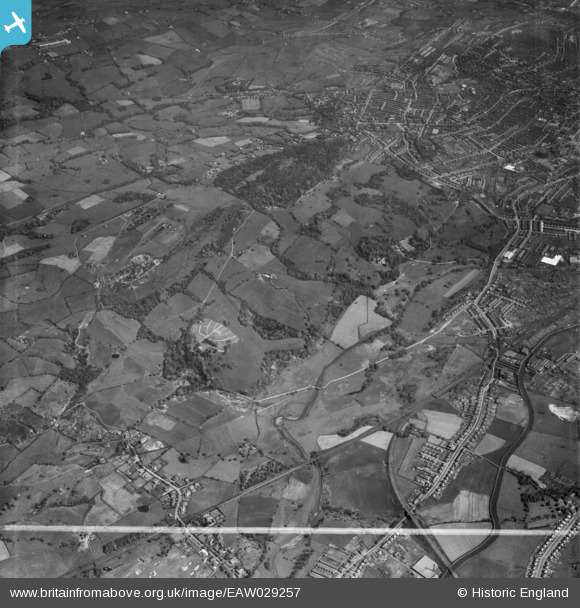
EAW029257 ENGLAND (1950). Witton Park and the town, Blackburn, 1950. This image was marked by Aerofilms Ltd for photo editing.
© Copyright OpenStreetMap contributors and licensed by the OpenStreetMap Foundation. 2026. Cartography is licensed as CC BY-SA.
Nearby Images (5)
EAW029257

EAW029256

EAW029258

EAW029255

EAW029259

Details
| Title | [EAW029257] Witton Park and the town, Blackburn, 1950. This image was marked by Aerofilms Ltd for photo editing. |
| Reference | EAW029257 |
| Date | 11-May-1950 |
| Link | |
| Place name | BLACKBURN |
| Parish | |
| District | |
| Country | ENGLAND |
| Easting / Northing | 365367, 427369 |
| Longitude / Latitude | -2.5251513994055, 53.74132916833 |
| National Grid Reference | SD654274 |
Pins

ewoodeddie1968 |
Monday 26th of September 2022 06:45:43 PM | |

powerpop |
Tuesday 28th of October 2014 07:33:00 PM |