
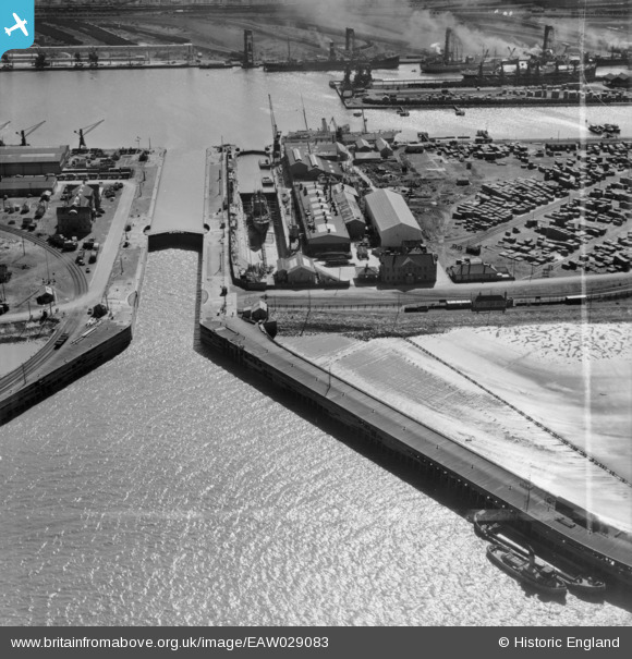
EAW029083 ENGLAND (1950). Immingham Dock, Immingham, 1950. image was marked by Aerofilms Ltd for photo editing.
© Copyright OpenStreetMap contributors and licensed by the OpenStreetMap Foundation. 2026. Cartography is licensed as CC BY-SA.
Nearby Images (16)
EAW029083

EAW030253

EAW029091

EAW029084

EAW029079

EAW030244

EAW029081

EAW030250

EAW030252

EAW029080

EAW029089

EAW030251

EAW029082

EAW030247

EAW030242

EAW030241

Details
| Title | [EAW029083] Immingham Dock, Immingham, 1950. image was marked by Aerofilms Ltd for photo editing. |
| Reference | EAW029083 |
| Date | 10-May-1950 |
| Link | |
| Place name | IMMINGHAM |
| Parish | IMMINGHAM |
| District | |
| Country | ENGLAND |
| Easting / Northing | 519854, 416471 |
| Longitude / Latitude | -0.18728632090177, 53.630790239089 |
| National Grid Reference | TA199165 |
Pins

Sparky |
Sunday 22nd of October 2017 10:56:49 PM |