
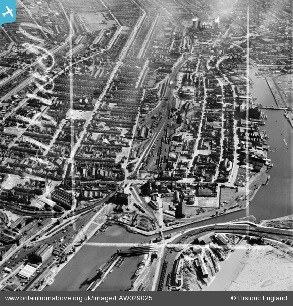
EAW029025 ENGLAND (1950). The town around Grimsby Docks Railway Station, Grimsby, 1950. This image was marked by Aerofilms Ltd for photo editing.
© Copyright OpenStreetMap contributors and licensed by the OpenStreetMap Foundation. 2026. Cartography is licensed as CC BY-SA.
Nearby Images (7)
EAW029025

EAW029024

EAW029023

EAW029027

EAW052058

EPW053386

EPW012669

Details
| Title | [EAW029025] The town around Grimsby Docks Railway Station, Grimsby, 1950. This image was marked by Aerofilms Ltd for photo editing. |
| Reference | EAW029025 |
| Date | 10-May-1950 |
| Link | |
| Place name | GRIMSBY |
| Parish | |
| District | |
| Country | ENGLAND |
| Easting / Northing | 527476, 410226 |
| Longitude / Latitude | -0.074632146894002, 53.572883173627 |
| National Grid Reference | TA275102 |
Pins

redmist |
Wednesday 31st of October 2018 08:06:38 PM | |

Class31 |
Tuesday 4th of March 2014 07:12:50 PM | |
|
Class31 |
Tuesday 4th of March 2014 07:06:46 PM | |
|
Class31 |
Tuesday 4th of March 2014 07:03:41 PM | |
|
Class31 |
Tuesday 4th of March 2014 07:02:51 PM | |
|
Class31 |
Tuesday 4th of March 2014 07:02:25 PM | |
|
Class31 |
Tuesday 4th of March 2014 07:01:50 PM | |
|
Class31 |
Tuesday 4th of March 2014 06:59:53 PM | |
|
Class31 |
Tuesday 4th of March 2014 06:59:28 PM | |
|
Class31 |
Tuesday 4th of March 2014 06:58:13 PM | |
|
Class31 |
Tuesday 4th of March 2014 06:48:20 PM |