
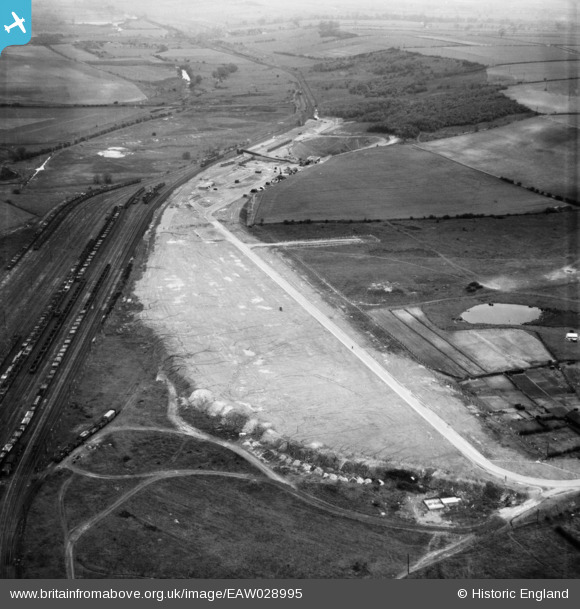
EAW028995 ENGLAND (1950). Dragonby Ironstone Mine, Dragonby, 1950
© Copyright OpenStreetMap contributors and licensed by the OpenStreetMap Foundation. 2026. Cartography is licensed as CC BY-SA.
Nearby Images (6)
EAW028995

EAW028996

EAW028998

EAW028991

EAW028993

EAW028997

Details
| Title | [EAW028995] Dragonby Ironstone Mine, Dragonby, 1950 |
| Reference | EAW028995 |
| Date | 8-May-1950 |
| Link | |
| Place name | DRAGONBY |
| Parish | ROXBY CUM RISBY |
| District | |
| Country | ENGLAND |
| Easting / Northing | 490248, 414245 |
| Longitude / Latitude | -0.63554069379258, 53.61672809995 |
| National Grid Reference | SE902142 |
Pins

DaveH |
Thursday 28th of November 2019 03:14:28 PM | |
|
DaveH |
Thursday 28th of November 2019 02:15:51 PM | |
|
DaveH |
Thursday 28th of November 2019 02:15:23 PM |