
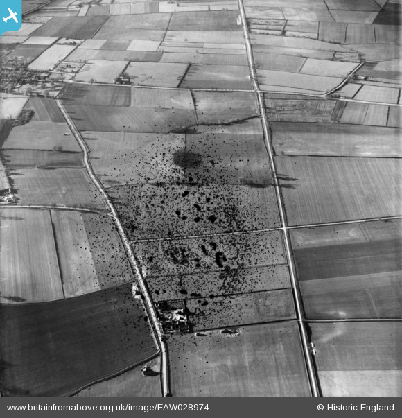
EAW028974 ENGLAND (1950). The course of Ermine Street Roman Road, Walk House and the surrounding countryside, Roxby, 1950. This image has been produced from a damaged negative.
© Copyright OpenStreetMap contributors and licensed by the OpenStreetMap Foundation. 2026. Cartography is licensed as CC BY-SA.
Nearby Images (2)
EAW028974

EAW028885

Details
| Title | [EAW028974] The course of Ermine Street Roman Road, Walk House and the surrounding countryside, Roxby, 1950. This image has been produced from a damaged negative. |
| Reference | EAW028974 |
| Date | 5-May-1950 |
| Link | |
| Place name | ROXBY |
| Parish | ROXBY CUM RISBY |
| District | |
| Country | ENGLAND |
| Easting / Northing | 494322, 417669 |
| Longitude / Latitude | -0.57292833881461, 53.64677989464 |
| National Grid Reference | SE943177 |
Pins
Be the first to add a comment to this image!