
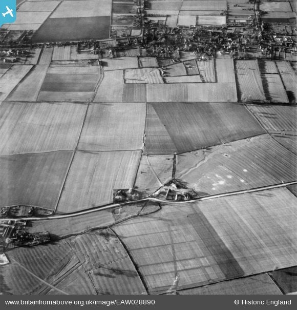
EAW028890 ENGLAND (1950). The town of Winterton and Roxby Grange, Roxby, 1950
© Copyright OpenStreetMap contributors and licensed by the OpenStreetMap Foundation. 2026. Cartography is licensed as CC BY-SA.
Nearby Images (2)
EAW028890

EAW028976

Details
| Title | [EAW028890] The town of Winterton and Roxby Grange, Roxby, 1950 |
| Reference | EAW028890 |
| Date | 5-May-1950 |
| Link | |
| Place name | ROXBY |
| Parish | ROXBY CUM RISBY |
| District | |
| Country | ENGLAND |
| Easting / Northing | 492667, 417514 |
| Longitude / Latitude | -0.59800602694767, 53.645682764013 |
| National Grid Reference | SE927175 |
Pins

totoro |
Sunday 16th of March 2014 09:08:06 PM | |
|
totoro |
Sunday 16th of March 2014 09:07:47 PM | |
|
totoro |
Sunday 16th of March 2014 09:07:19 PM | |
|
totoro |
Sunday 16th of March 2014 09:06:30 PM | |
|
totoro |
Sunday 16th of March 2014 09:05:04 PM | |
|
totoro |
Sunday 16th of March 2014 09:04:25 PM | |
|
totoro |
Sunday 16th of March 2014 09:03:56 PM |