
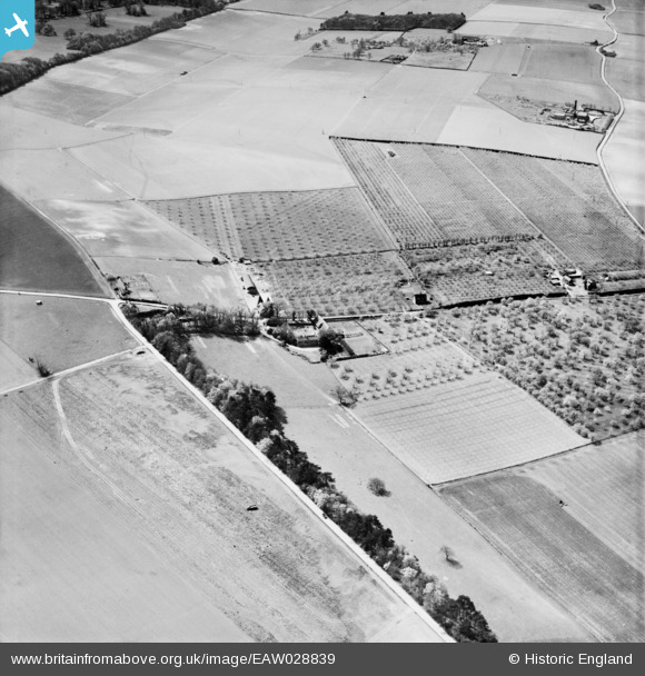
EAW028839 ENGLAND (1950). Crockshard Farm, Wingham, 1950
© Copyright OpenStreetMap contributors and licensed by the OpenStreetMap Foundation. 2026. Cartography is licensed as CC BY-SA.
Nearby Images (6)
EAW028839

EAW028837

EAW028836

EAW028840

EAW028838

EAW028841

Details
| Title | [EAW028839] Crockshard Farm, Wingham, 1950 |
| Reference | EAW028839 |
| Date | 1-May-1950 |
| Link | |
| Place name | WINGHAM |
| Parish | WINGHAM |
| District | |
| Country | ENGLAND |
| Easting / Northing | 624855, 155969 |
| Longitude / Latitude | 1.2230276969705, 51.257955974107 |
| National Grid Reference | TR249560 |
Pins

Matt Aldred edob.mattaldred.com |
Tuesday 9th of March 2021 10:40:00 AM | |

Sparky |
Saturday 21st of October 2017 11:45:03 PM |