
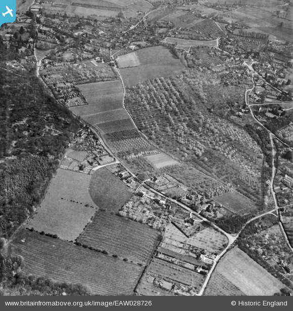
EAW028726 ENGLAND (1950). Grubwood Lane, Copas Bros Orchards and environs, Cookham Dean, 1950
© Copyright OpenStreetMap contributors and licensed by the OpenStreetMap Foundation. 2025. Cartography is licensed as CC BY-SA.
Nearby Images (3)
EAW028726

EAW028722

EAW028725

Details
| Title | [EAW028726] Grubwood Lane, Copas Bros Orchards and environs, Cookham Dean, 1950 |
| Reference | EAW028726 |
| Date | 20-April-1950 |
| Link | |
| Place name | COOKHAM DEAN |
| Parish | COOKHAM |
| District | |
| Country | ENGLAND |
| Easting / Northing | 486470, 185111 |
| Longitude / Latitude | -0.75254368320973, 51.557769008184 |
| National Grid Reference | SU865851 |
Pins
 misterjohn |
Tuesday 3rd of January 2023 01:35:39 PM | |
misterjohn |
Tuesday 3rd of January 2023 01:34:38 PM | |
LOU |
Monday 22nd of November 2021 02:52:39 PM | |
LOU |
Monday 22nd of November 2021 02:51:44 PM | |
LOU |
Tuesday 28th of September 2021 05:19:37 PM |