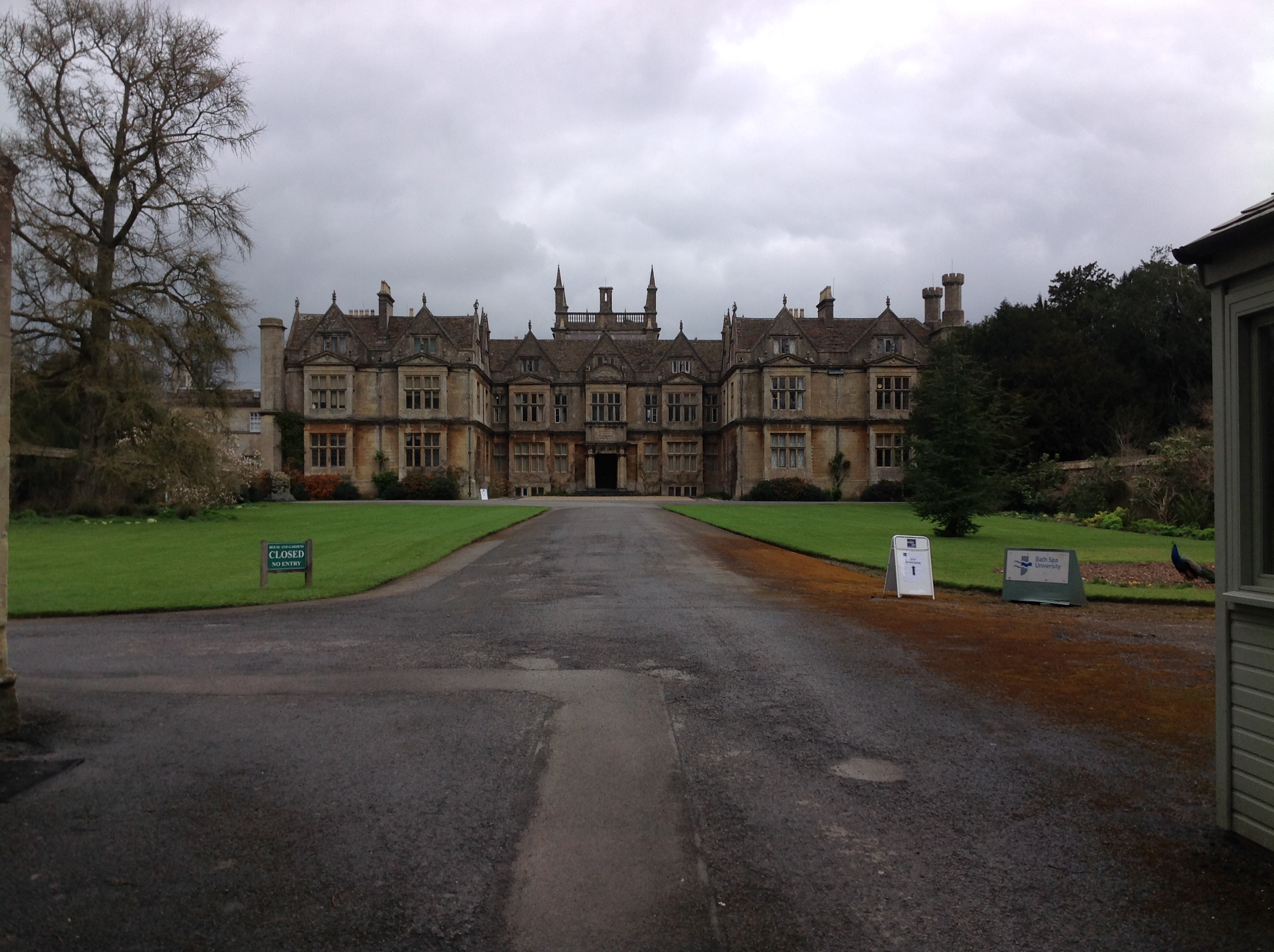
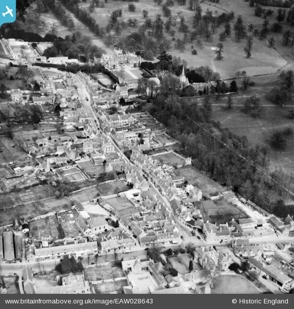
EAW028643 ENGLAND (1950). The High Street and Corsham Court, Corsham, 1950
© Copyright OpenStreetMap contributors and licensed by the OpenStreetMap Foundation. 2026. Cartography is licensed as CC BY-SA.
Nearby Images (8)
EAW028643

EPR000170

EAW028642

EPW033514

EPW033512

EAW028639

EPW033508

EAW028644

Details
| Title | [EAW028643] The High Street and Corsham Court, Corsham, 1950 |
| Reference | EAW028643 |
| Date | 6-April-1950 |
| Link | |
| Place name | CORSHAM |
| Parish | CORSHAM |
| District | |
| Country | ENGLAND |
| Easting / Northing | 387237, 170399 |
| Longitude / Latitude | -2.1836155755525, 51.431957776986 |
| National Grid Reference | ST872704 |
Pins

Class31 |
Tuesday 25th of March 2014 08:13:03 PM | |
|
Class31 |
Tuesday 25th of March 2014 08:09:37 PM | |
 |
Class31 |
Tuesday 25th of March 2014 08:07:16 PM |
|
Class31 |
Tuesday 25th of March 2014 07:51:09 PM | |
|
Class31 |
Tuesday 25th of March 2014 07:33:32 PM | |
|
Class31 |
Tuesday 25th of March 2014 07:29:39 PM | |
|
Class31 |
Tuesday 25th of March 2014 07:17:18 PM | |
|
Class31 |
Tuesday 25th of March 2014 07:09:18 PM |